My friend Bruce and I have been chasing Arkansas waterfalls lately. Our adventures are based off a book titled “Arkansas Waterfalls Guidebook” by Tim Ernst. His book can also be found on Amazon.
On this hike, we had planned to hit Tea Kettle Falls because we were told the water was flowing well. Our trip was planned the day before we left. We decided to use GPS to find the trailhead and maps for the hiking part. We soon learned this wasn’t a good idea. We decided to use the AllTrails website. I never used Alltrails before and honestly, I never wanted to, except for the fact that I couldn’t find many other places marking the trailhead. The first GPS coordinates that came from AllTrails took us a mile away from where we wanted to start. When we realized it wasn’t right, we tried Google and found yet another AllTrails link with GPS directions. This time, it took us 30 minutes away from the trailhead to downtown Huntsville, AR! At this point, we decided AllTrails wasn’t going to help us. At this point, we decided we would go ahead and use Tim Ernst’s book and see if we could figure it out. The book got us pretty close to the right road but we still had problems finding it. After studying the terrain and curves in the road, we decided we found the right road. This road had no sign and really looked like a private drive. This is the main reason we kept missing it.
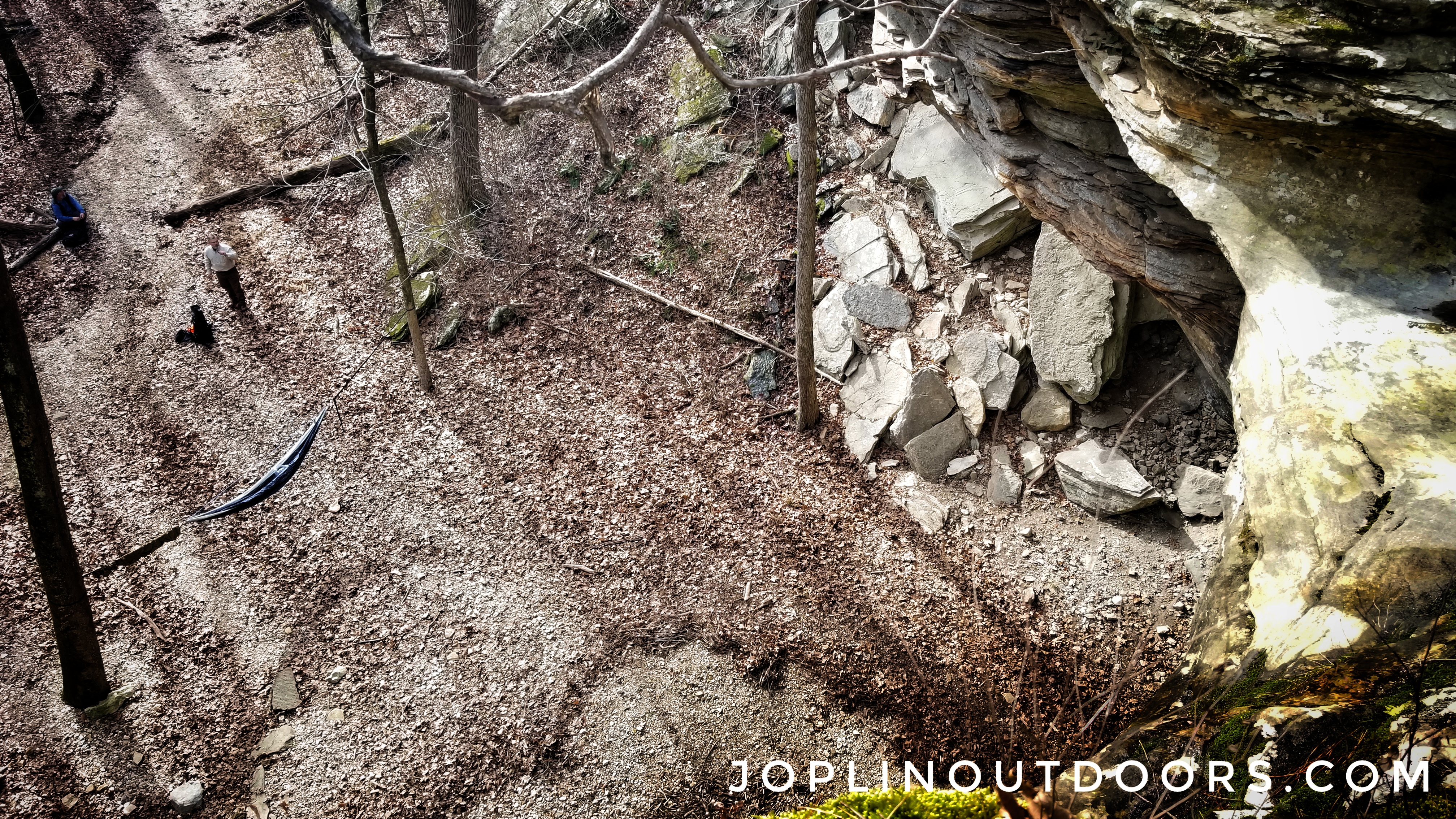
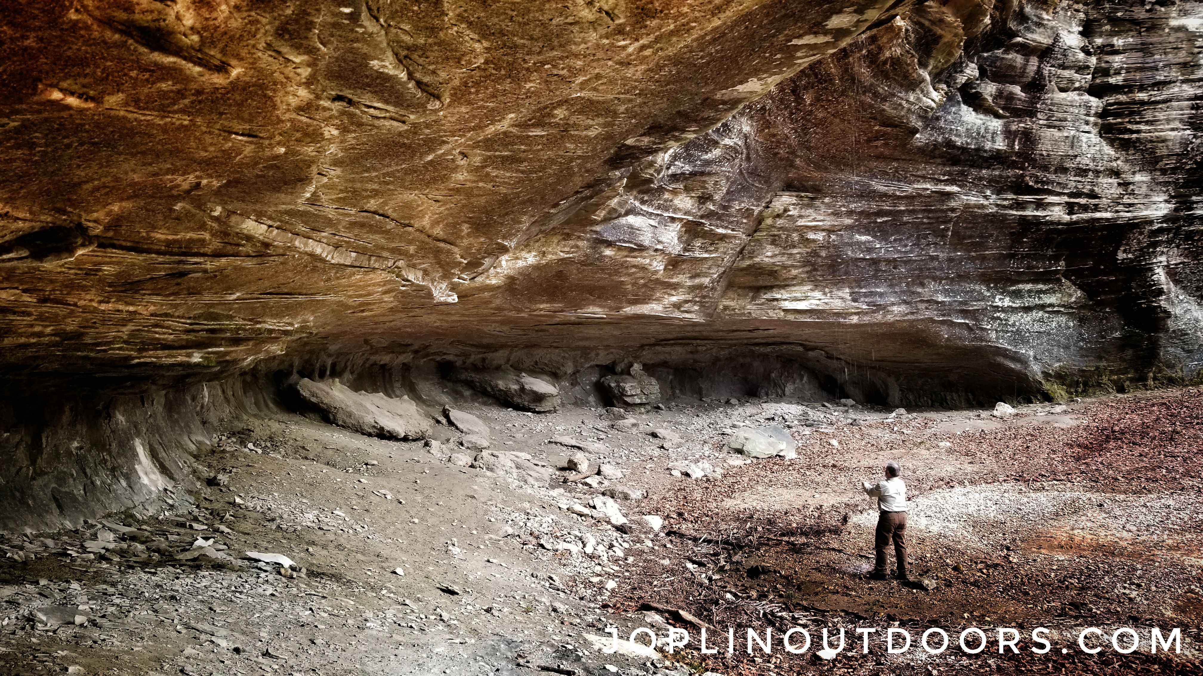
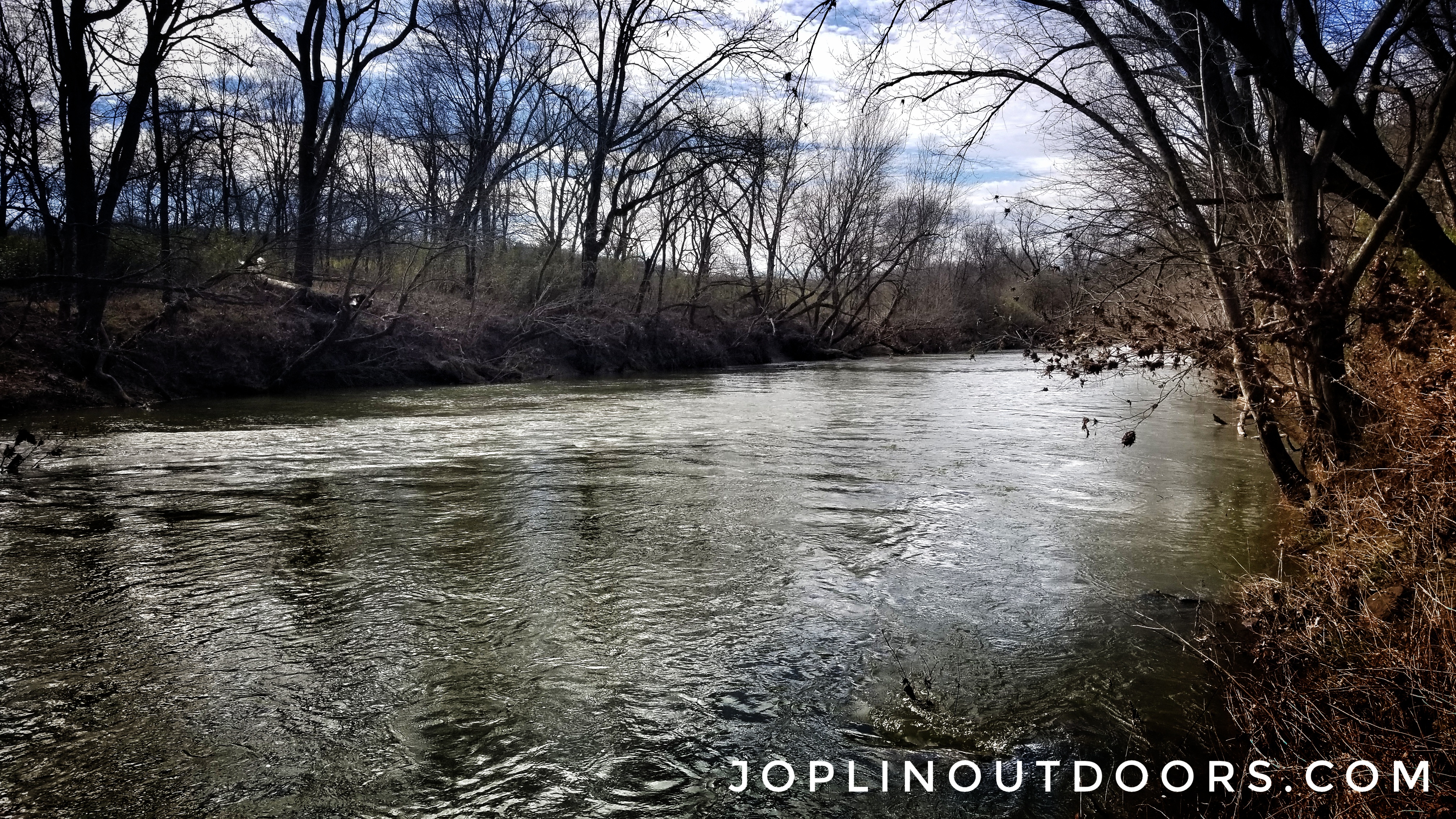
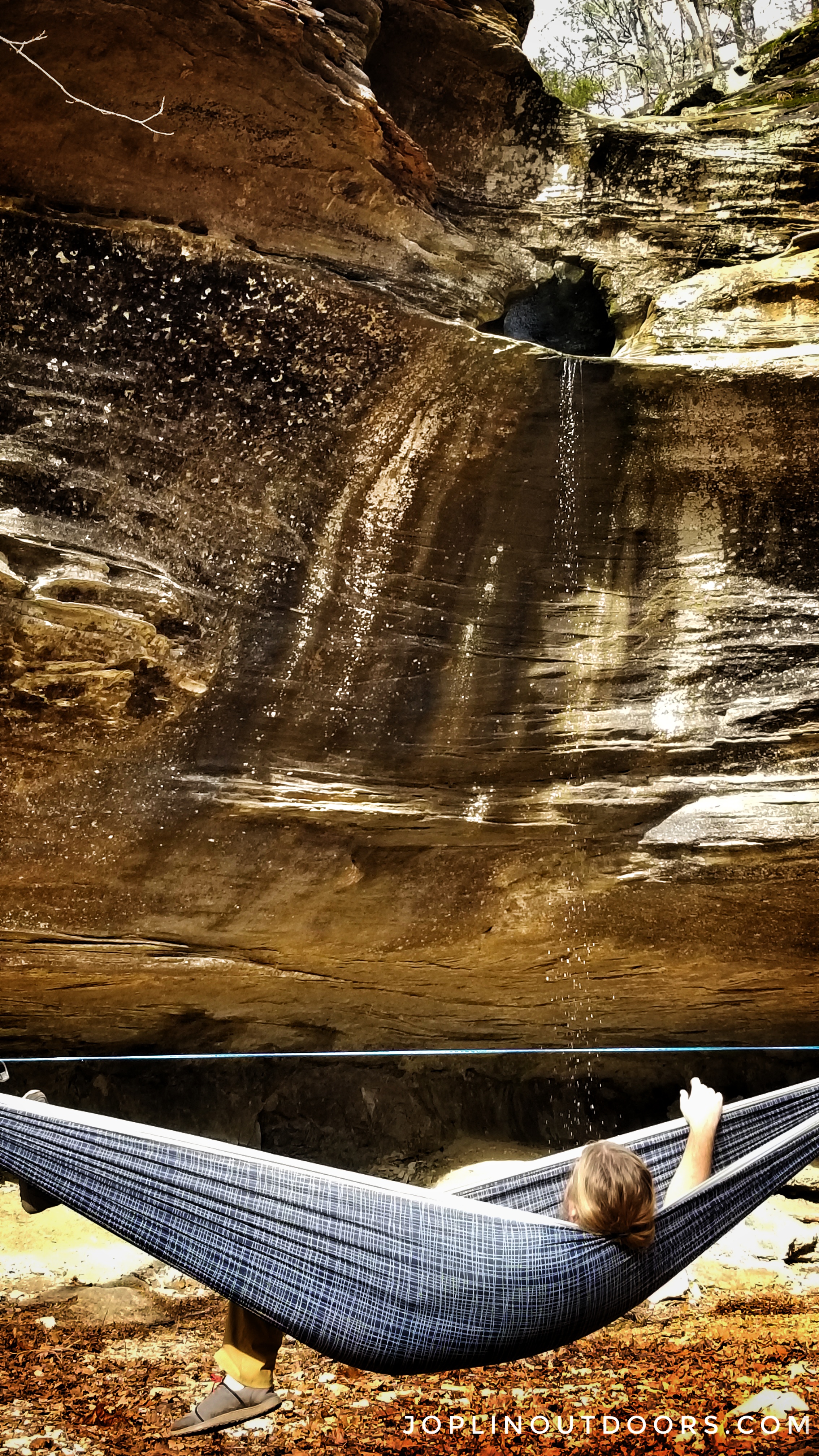
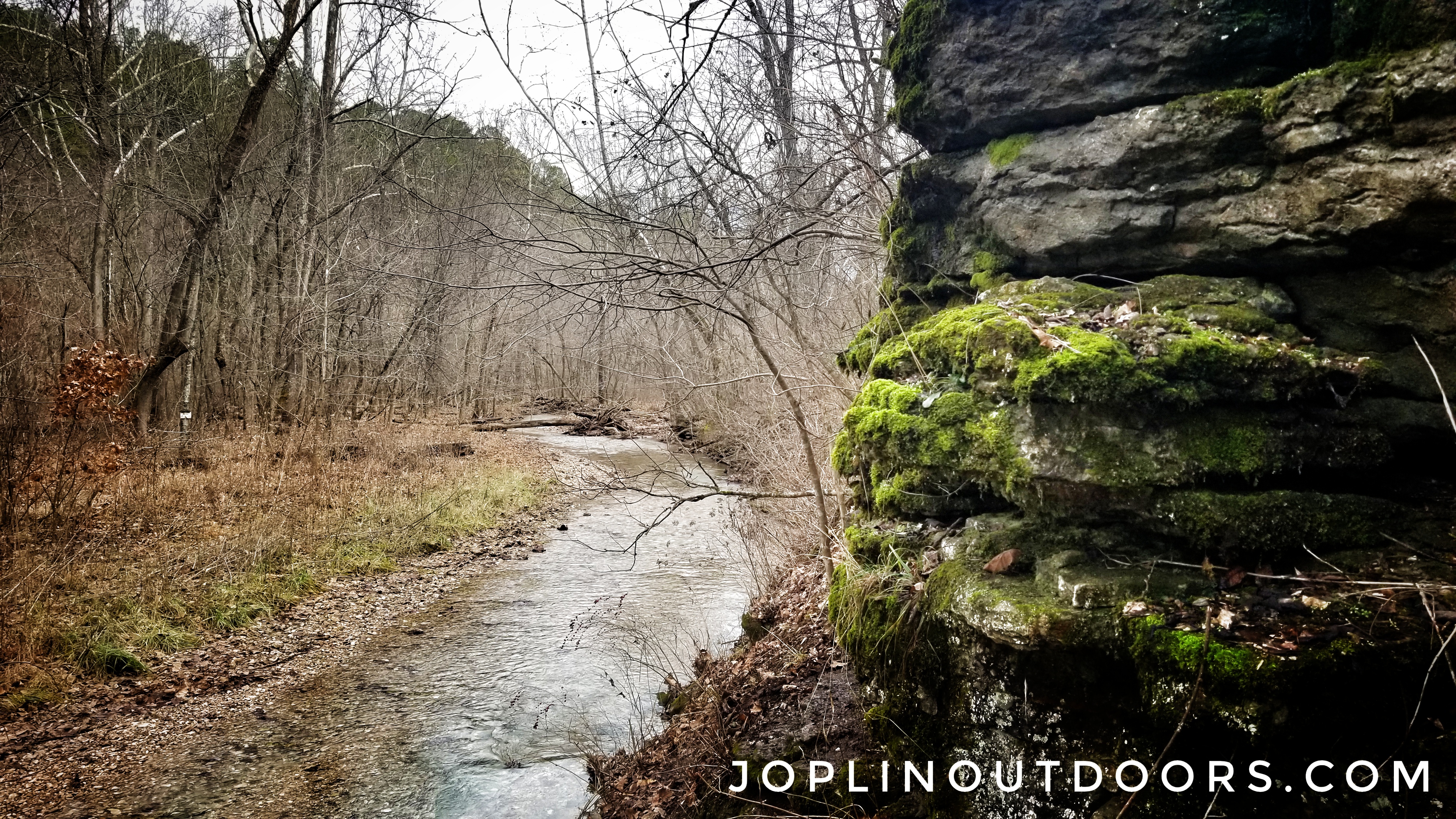
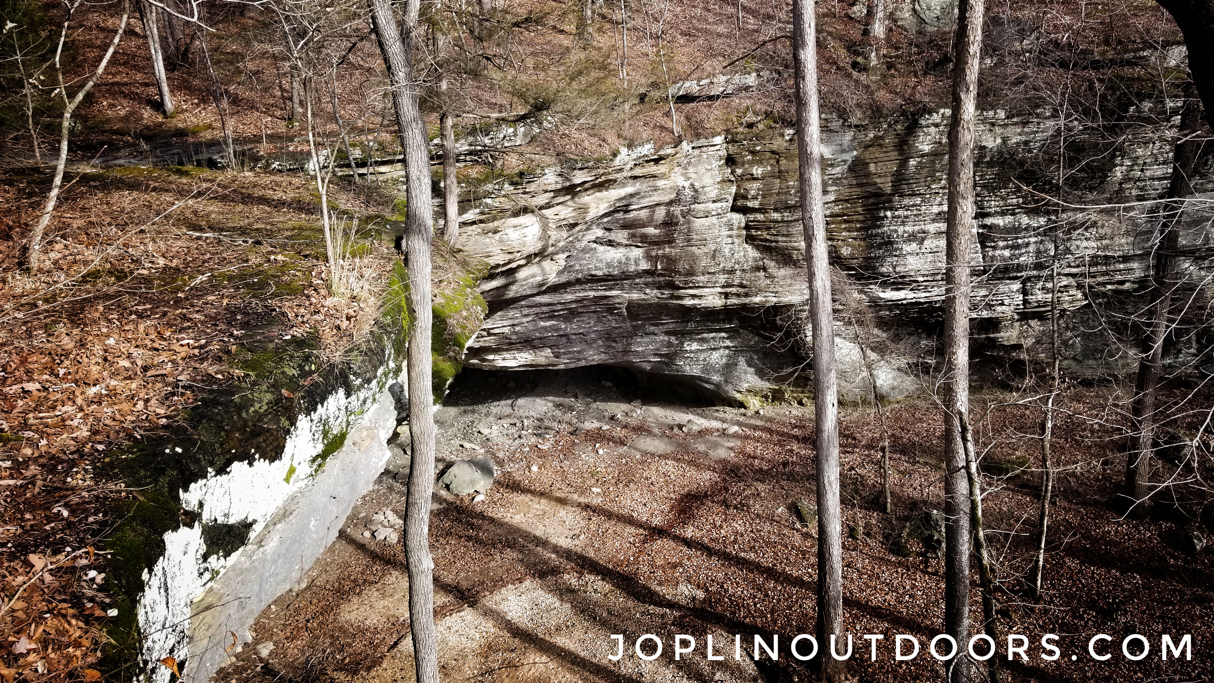
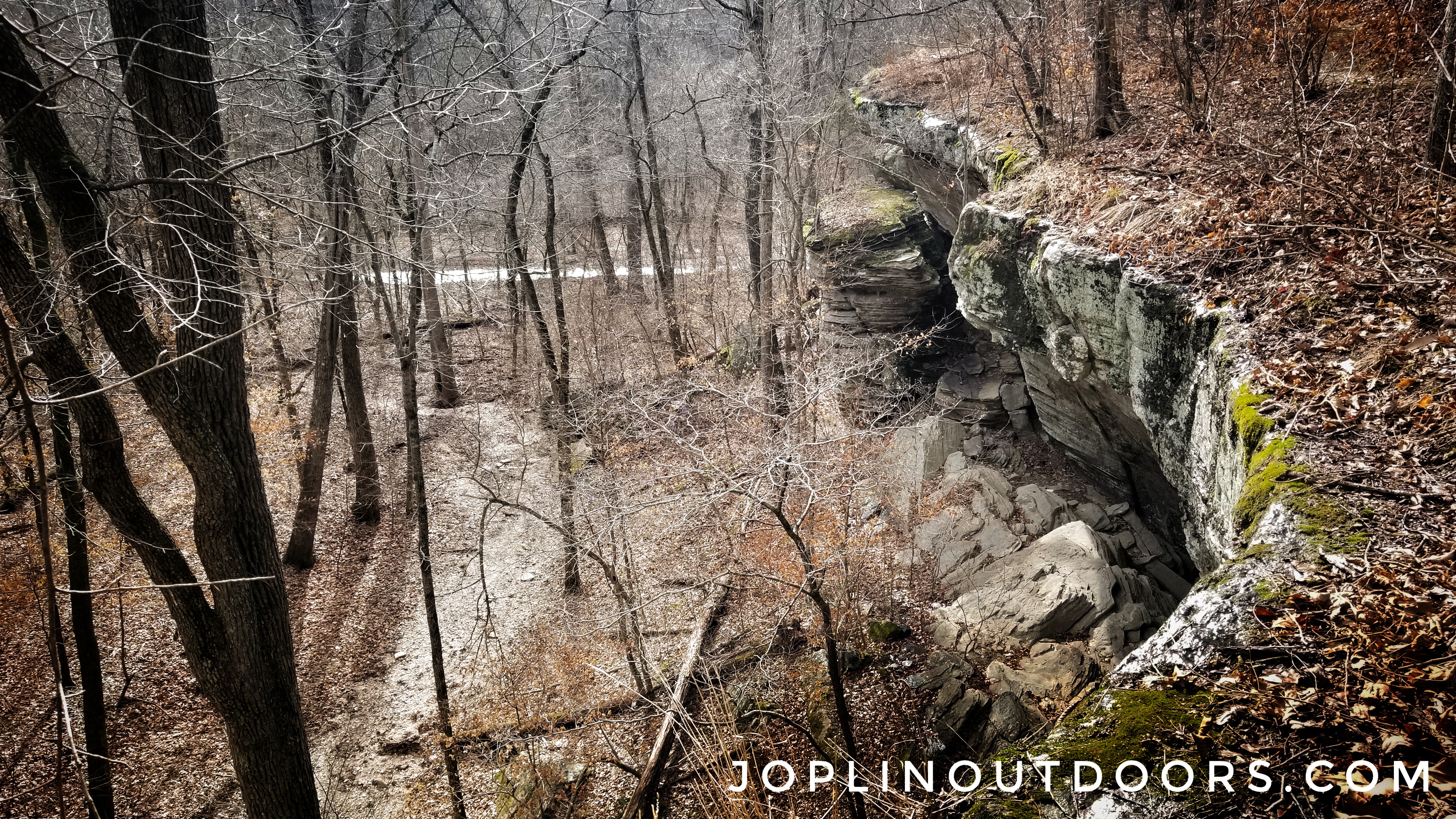
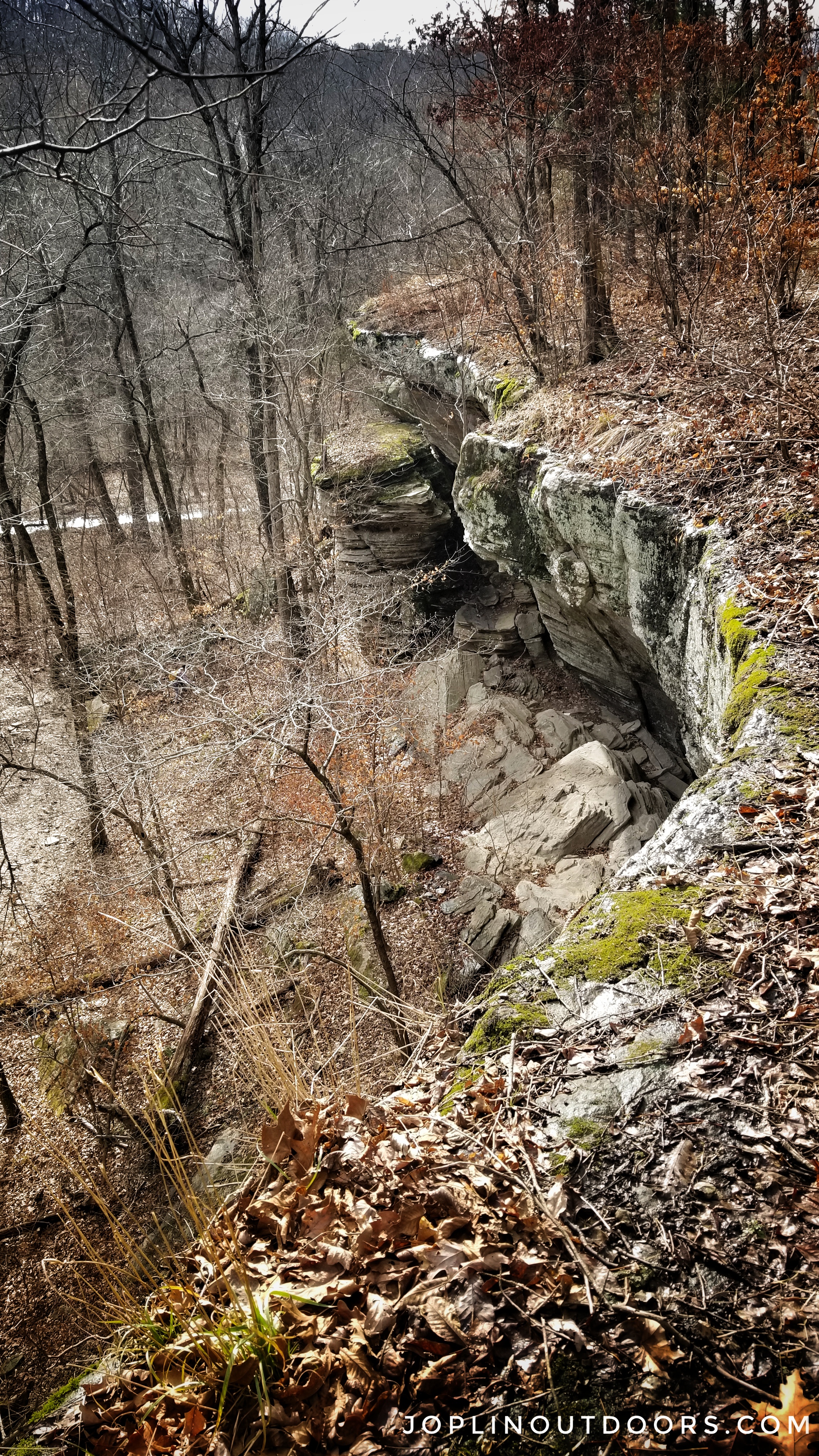
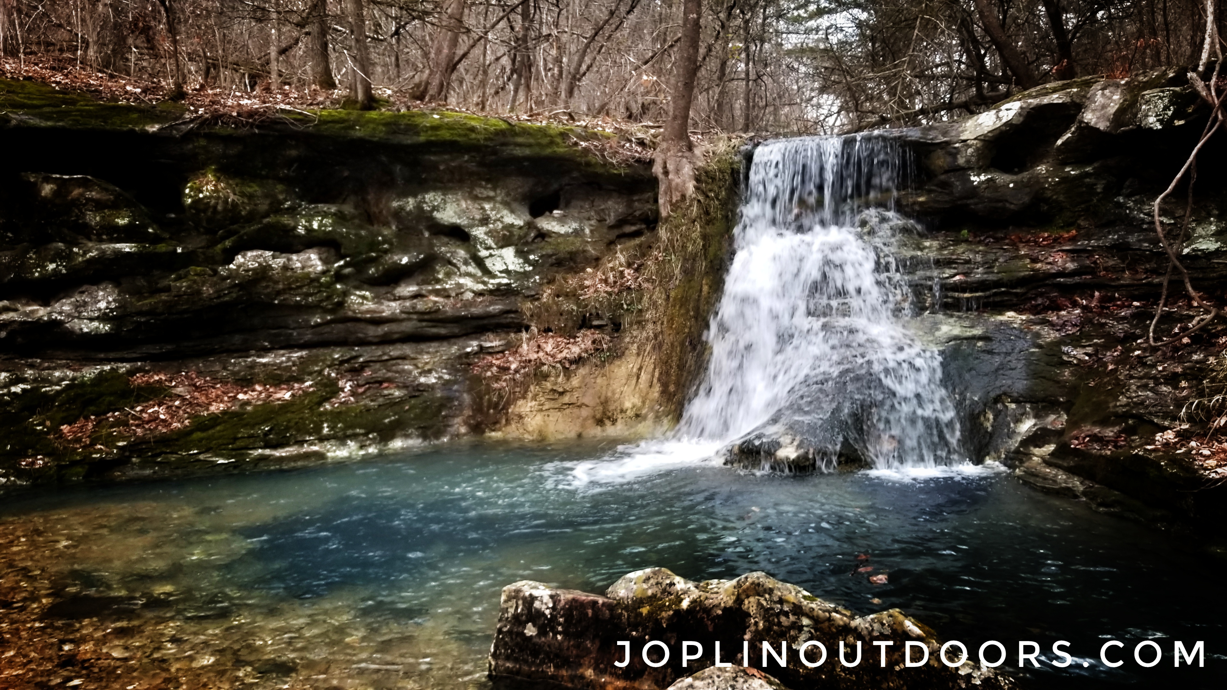
It also didn’t help that the AllTrails links were junk. Down from this road, the trailhead is about 1 mile away. There will be no sign and you will park in the grass just before you get to a stream crossing. The trail isn’t marked really at all and you won’t see any signs other than one that states no ATVs allowed. Basically, you will want to follow the creek, as the path we found would break off many different ways. If you can read a topo map then you’ll be good. Fortunately, following the creek offers more to see. The creek is very clear and cold. We saw very little trash and picked up what we did see. You will have to cross the creek many times while you go downstream. On our hike down we found a cool waterfall at Reynolds Canyon just 40 yards off the creek. This waterfall (which is marked in Tim Ernst book but not named) seemed to be the highlight of the trip, as it was really flowing and provided a great spot to hang a hammock and chill. In my opinion, this area would make a great spot to camp, but no camping is allowed in this area. So just a day hang will be what you get.
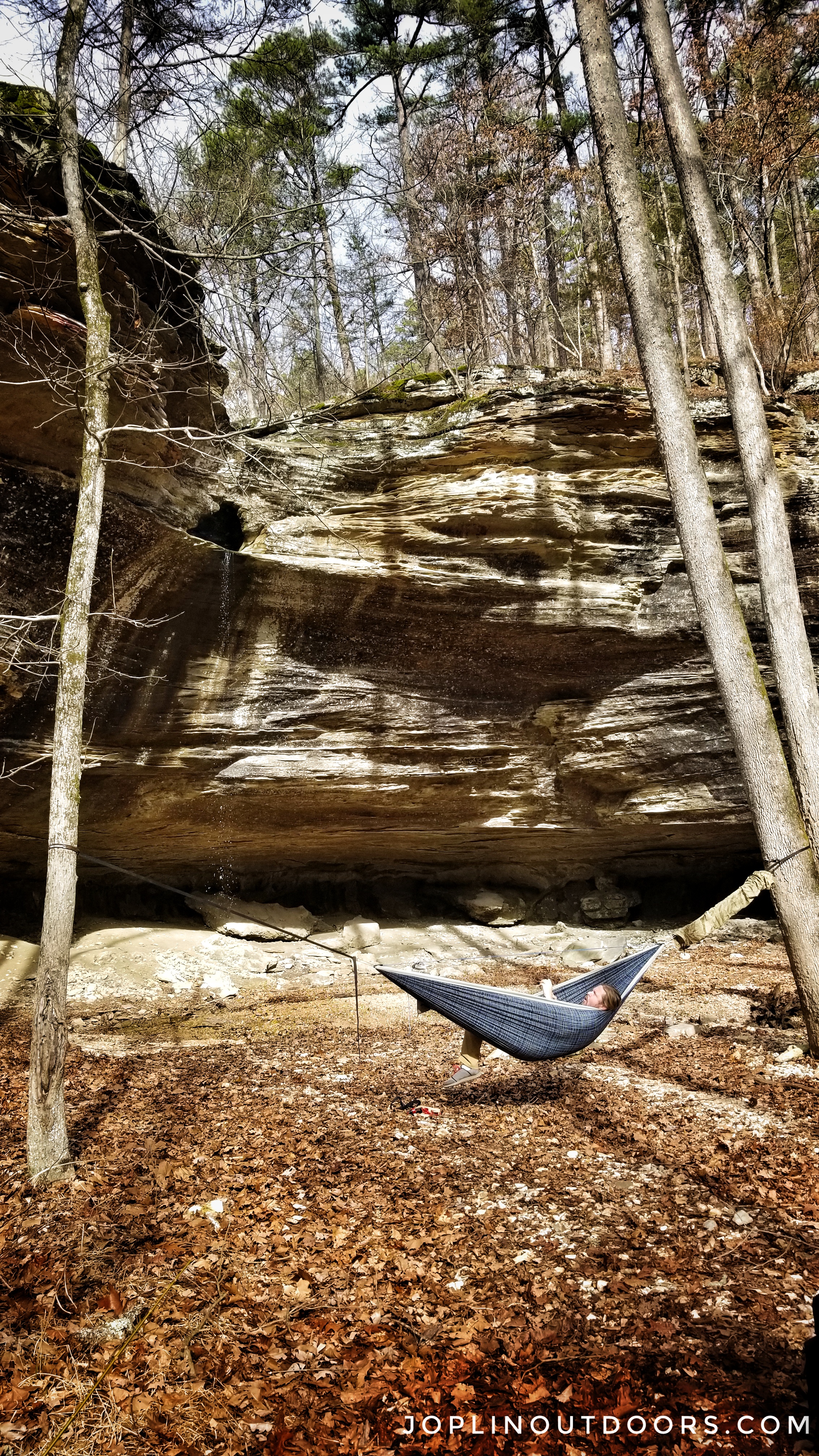
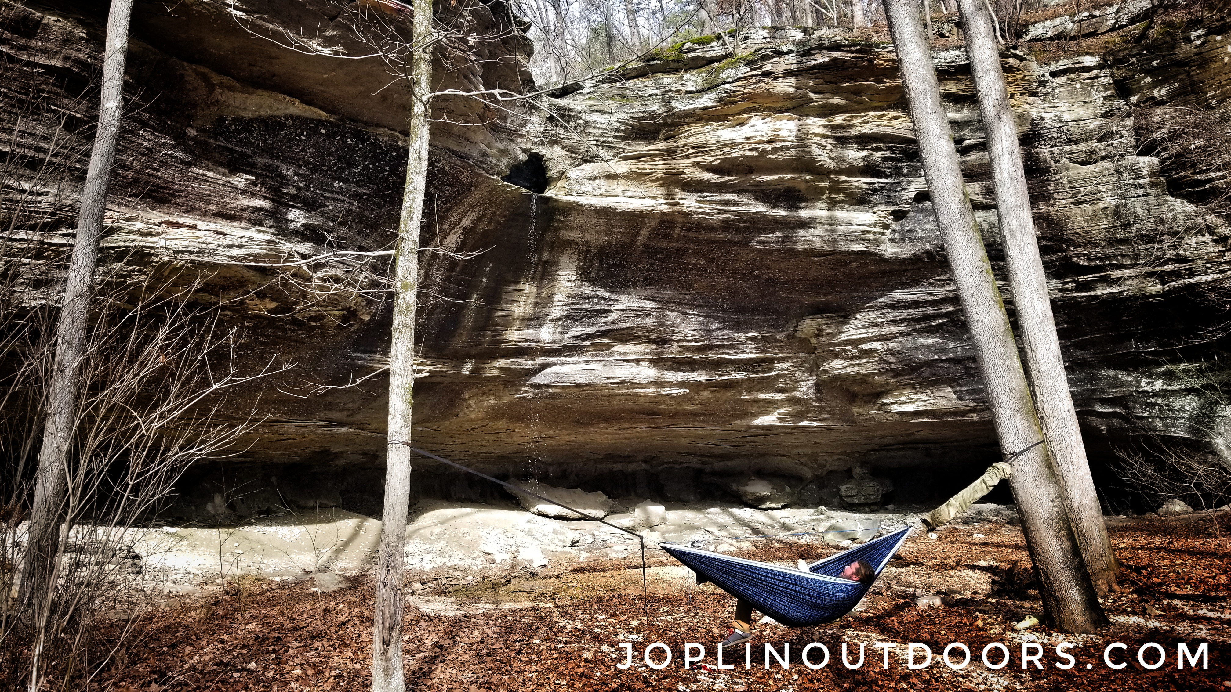
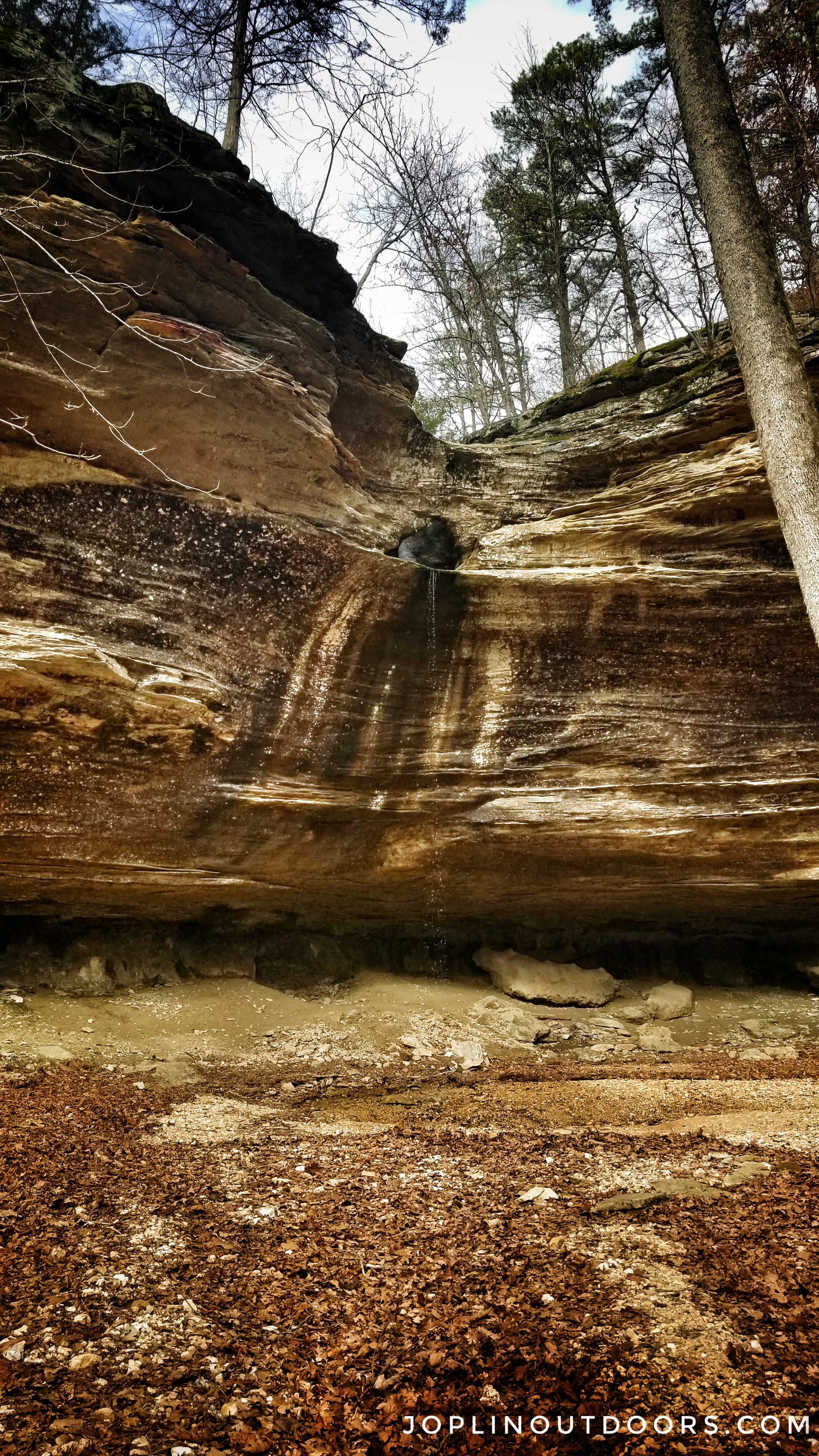
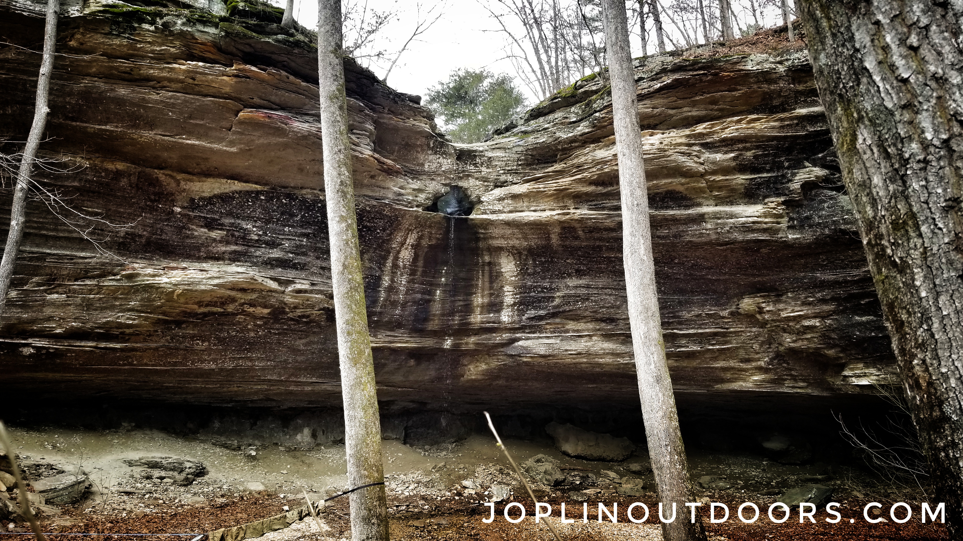
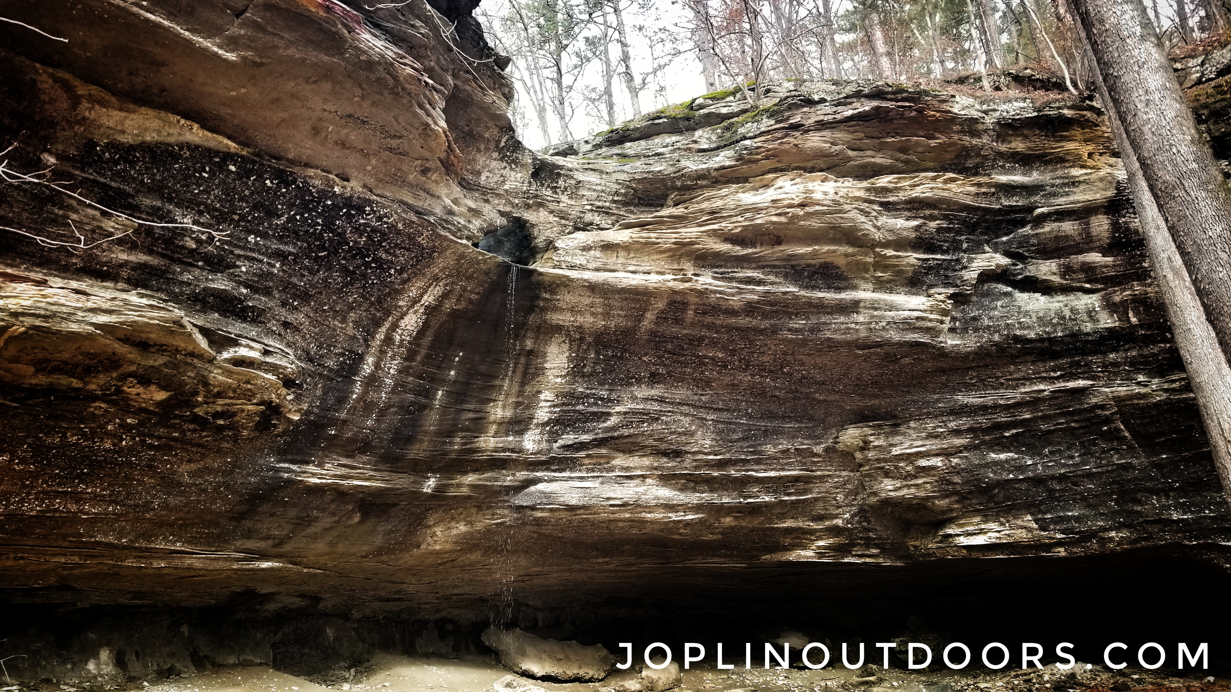
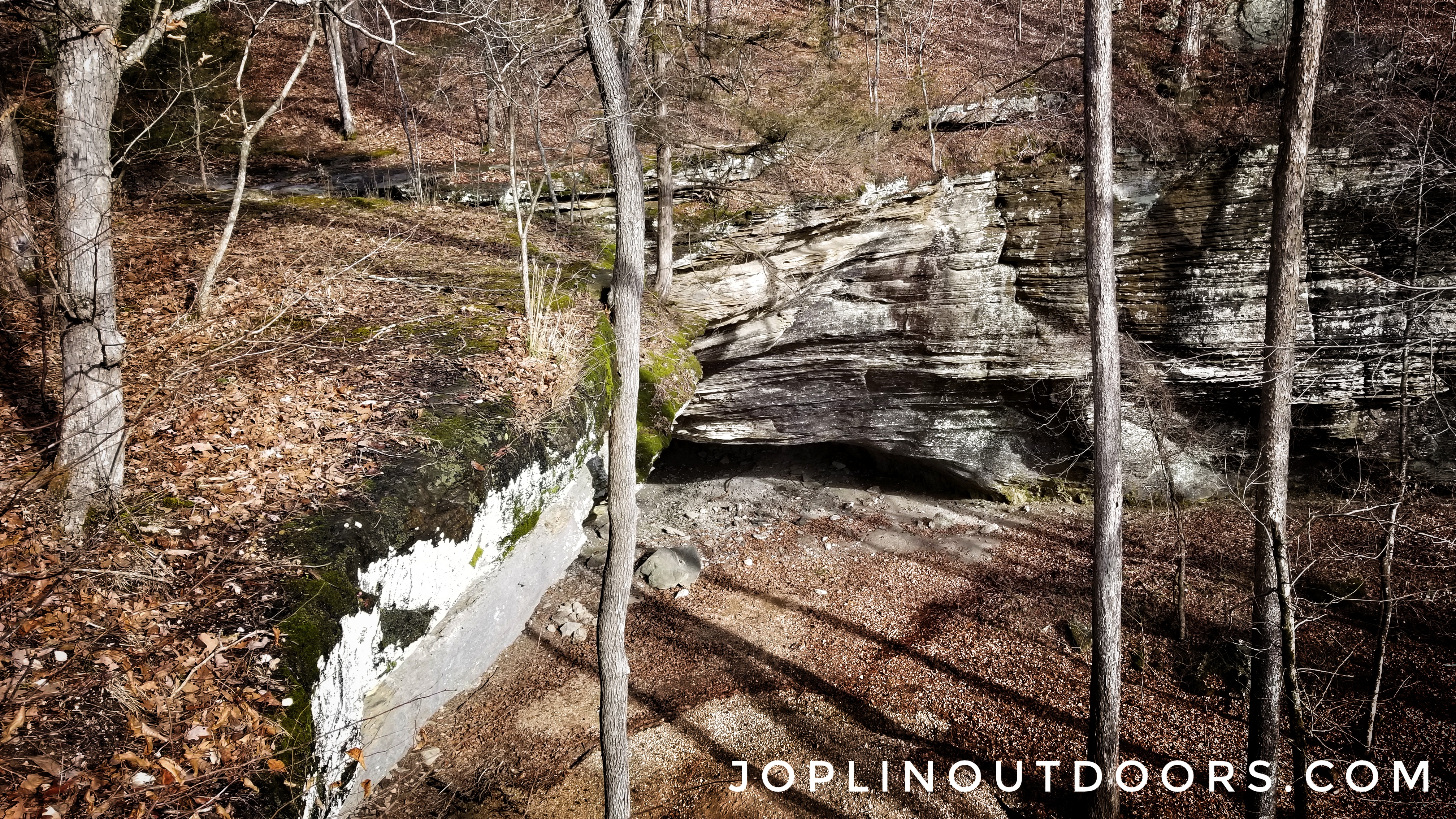
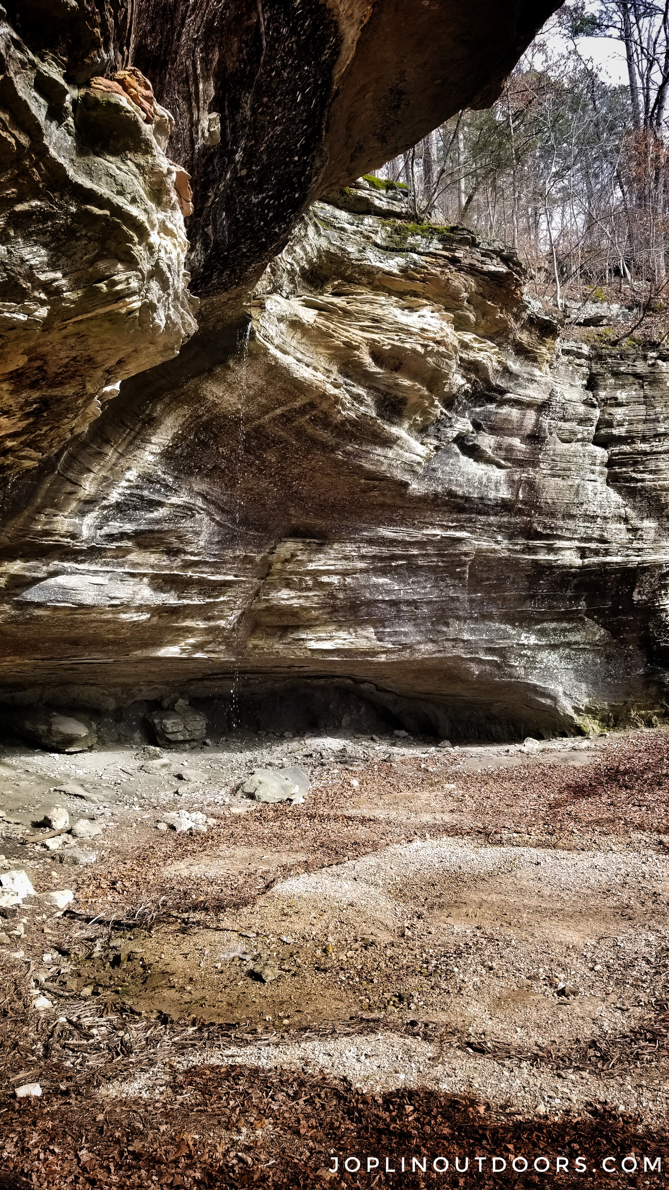
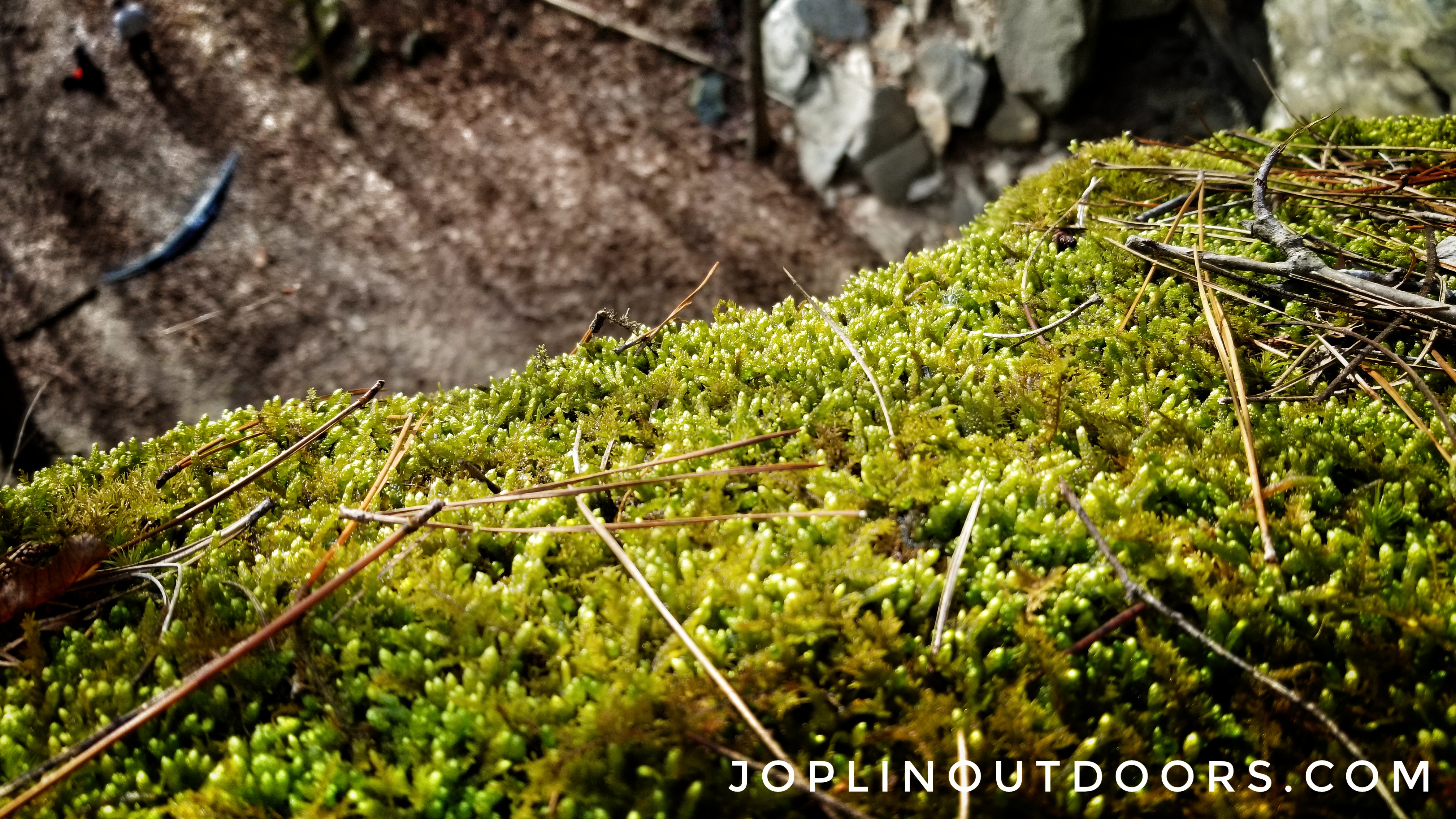
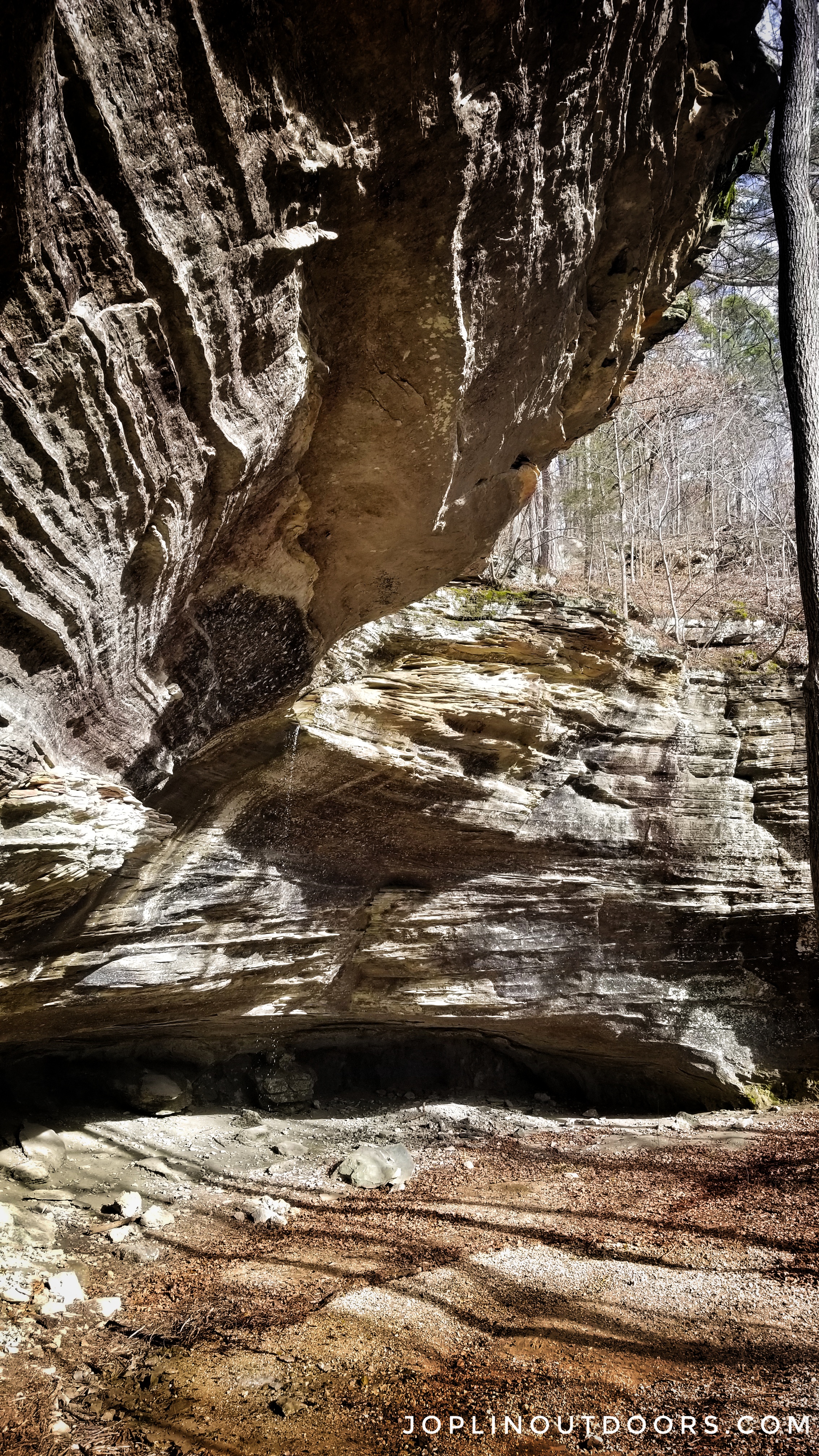
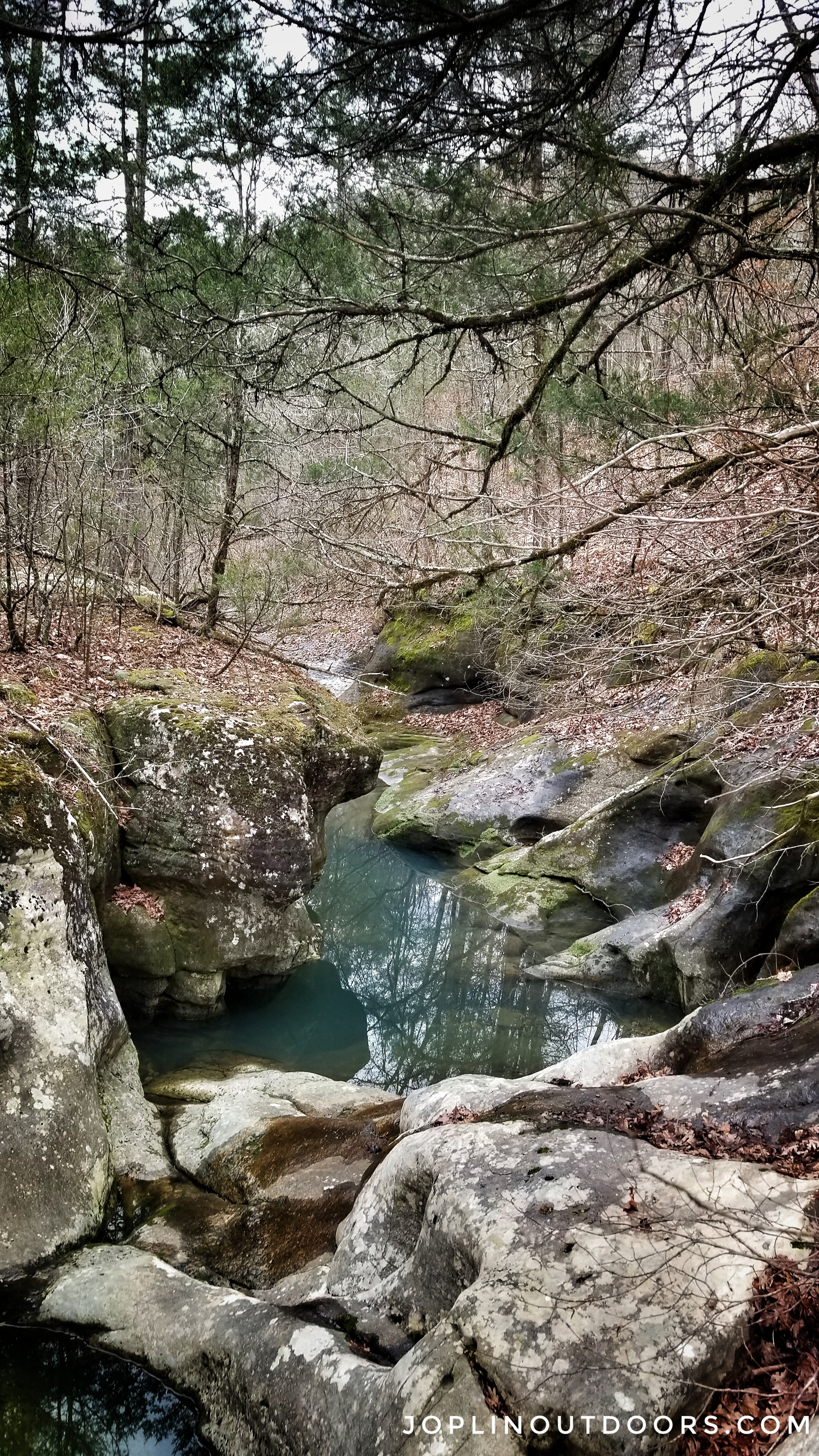
Keep following the creek. About halfway down you will find a spring coming out of a bluff to your left. Another great spot to take a break and chill. If you filter your drinking water, this would be a good spot. From here you are a few creek crossings away from the falls. The falls weren’t running well that day. It was more of just a trickle. When this is the result, you may not hear it from the creek. For future reference, the falls will be on the left side of the creek as you head down. In addition, if you are using a topo map look for Kettle Hollow.
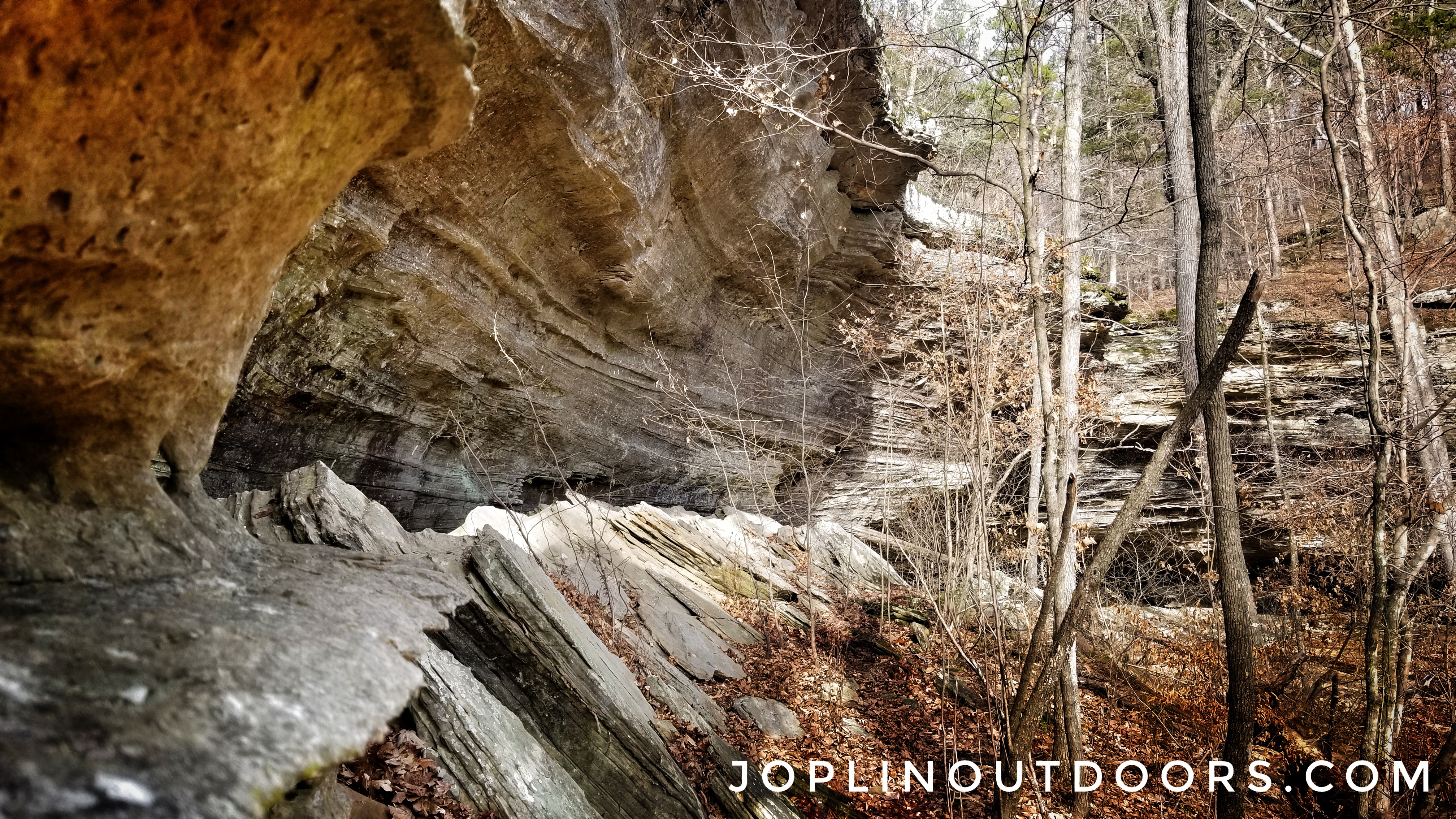
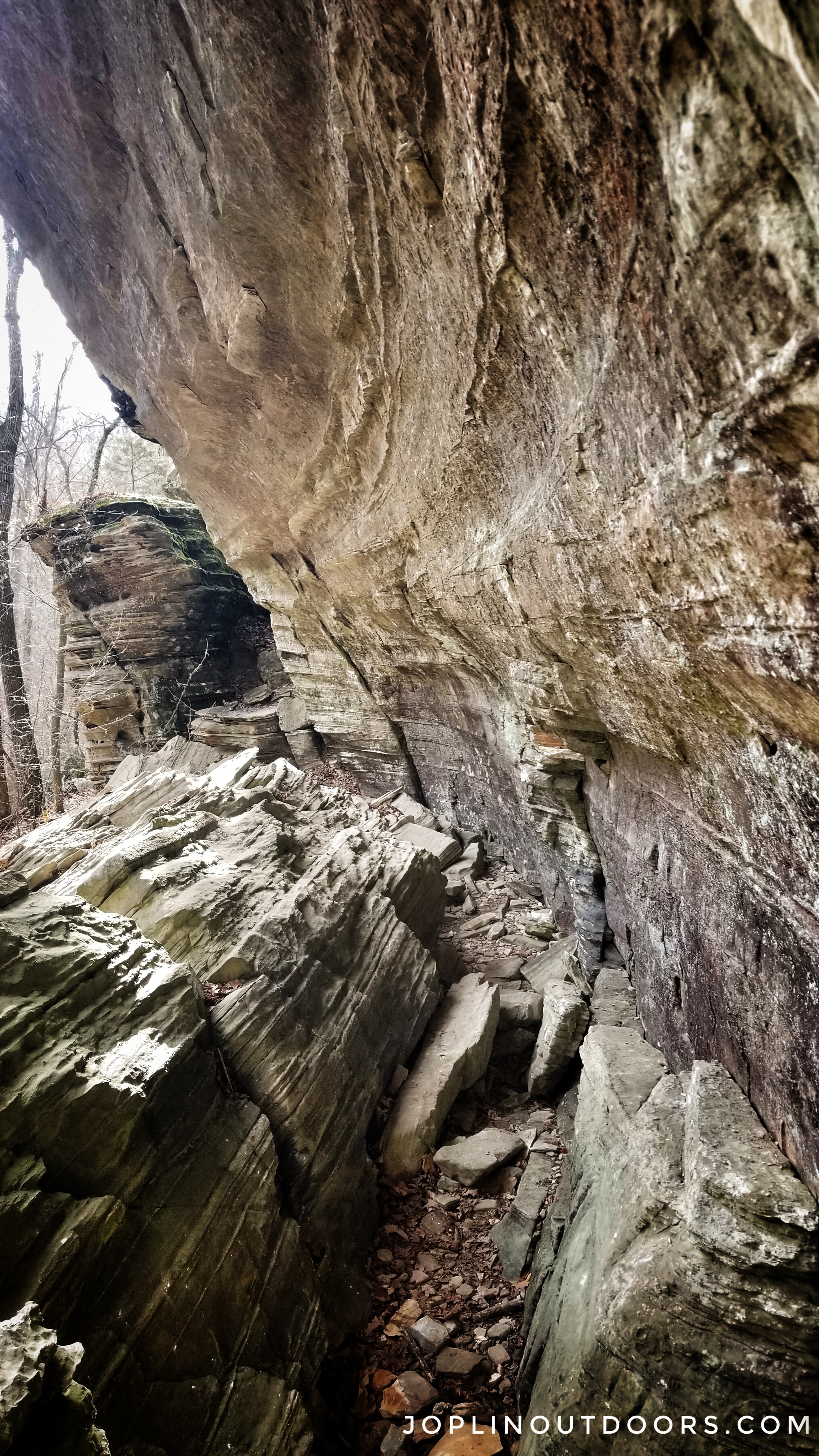
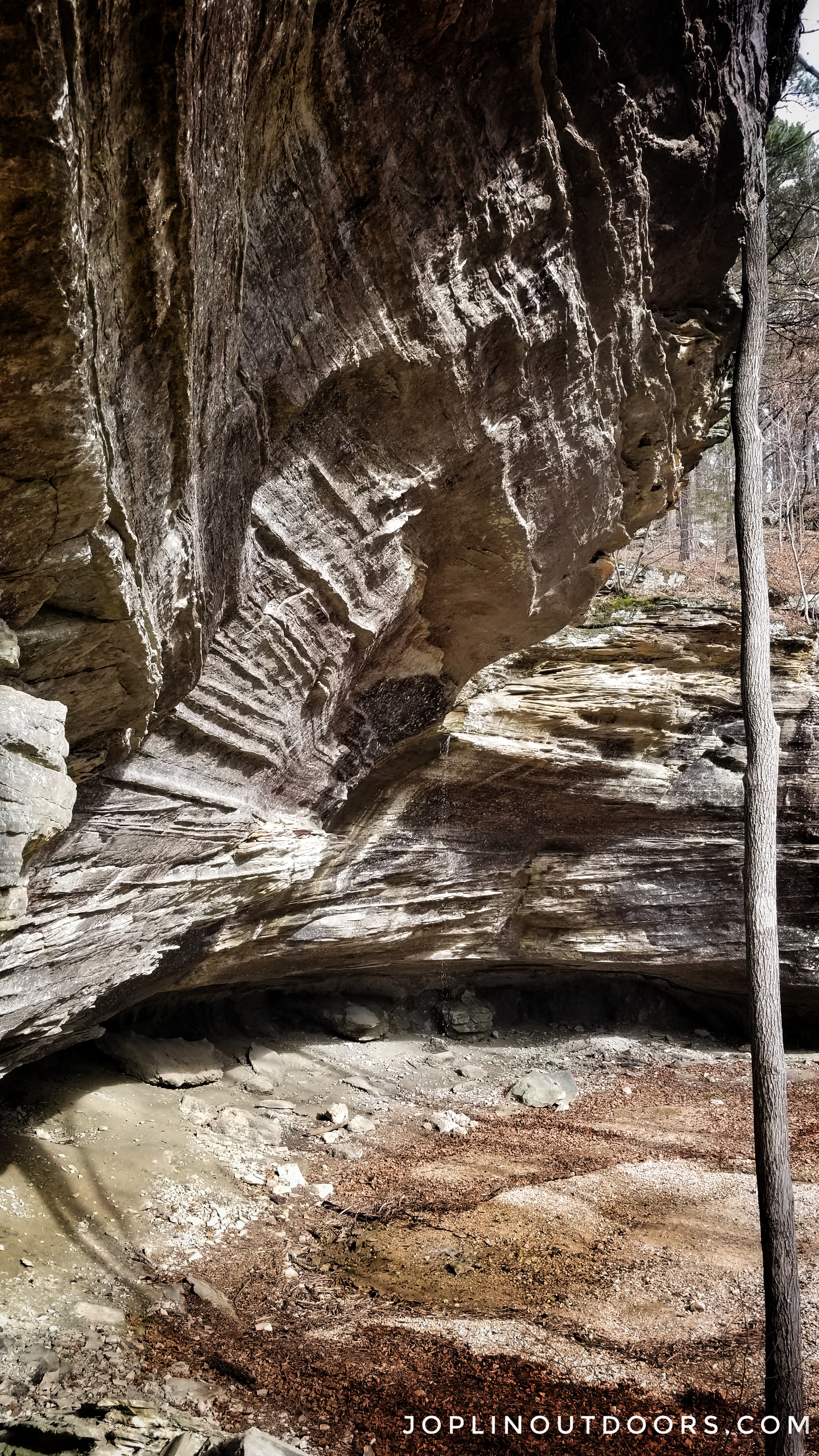
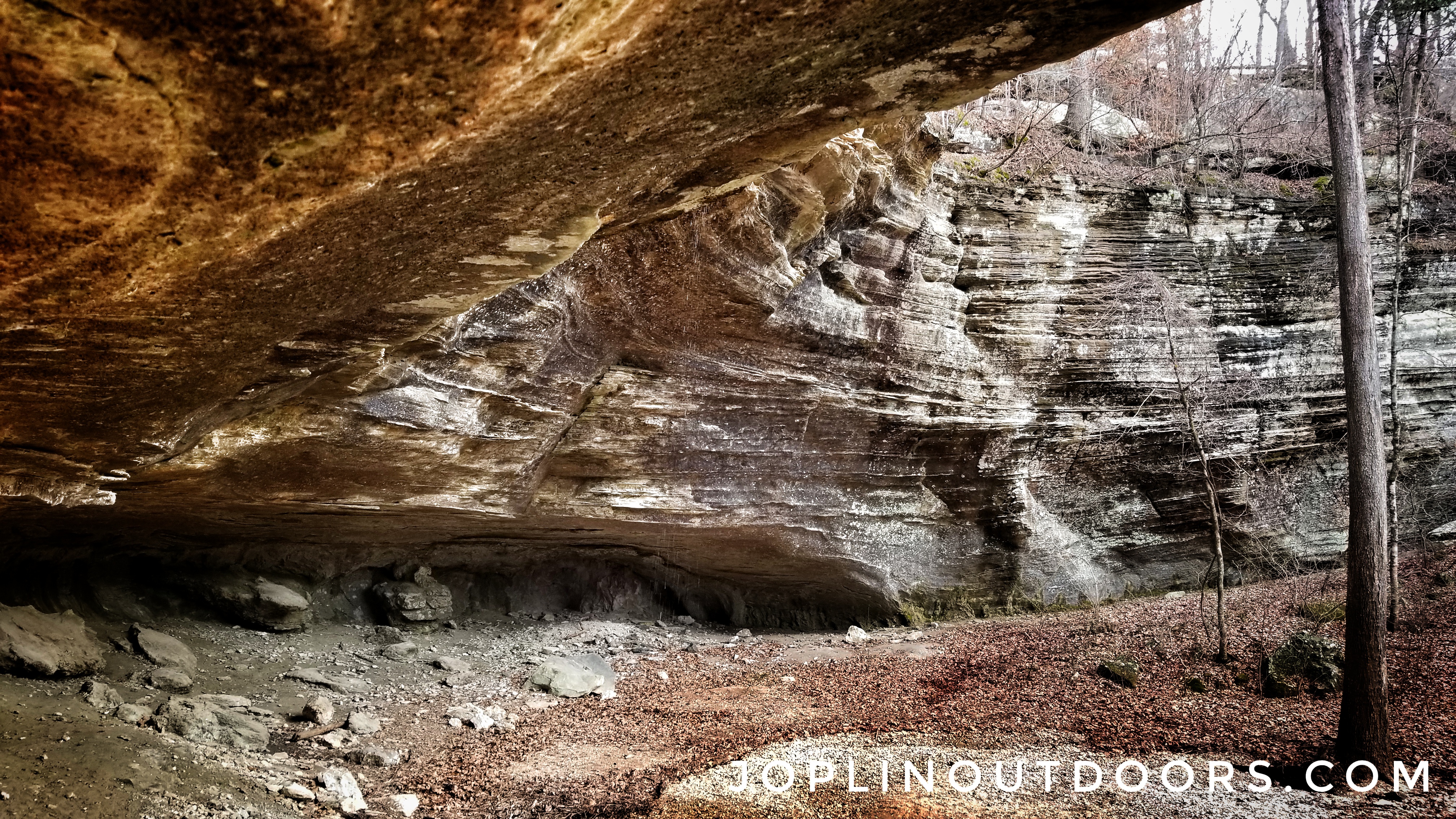
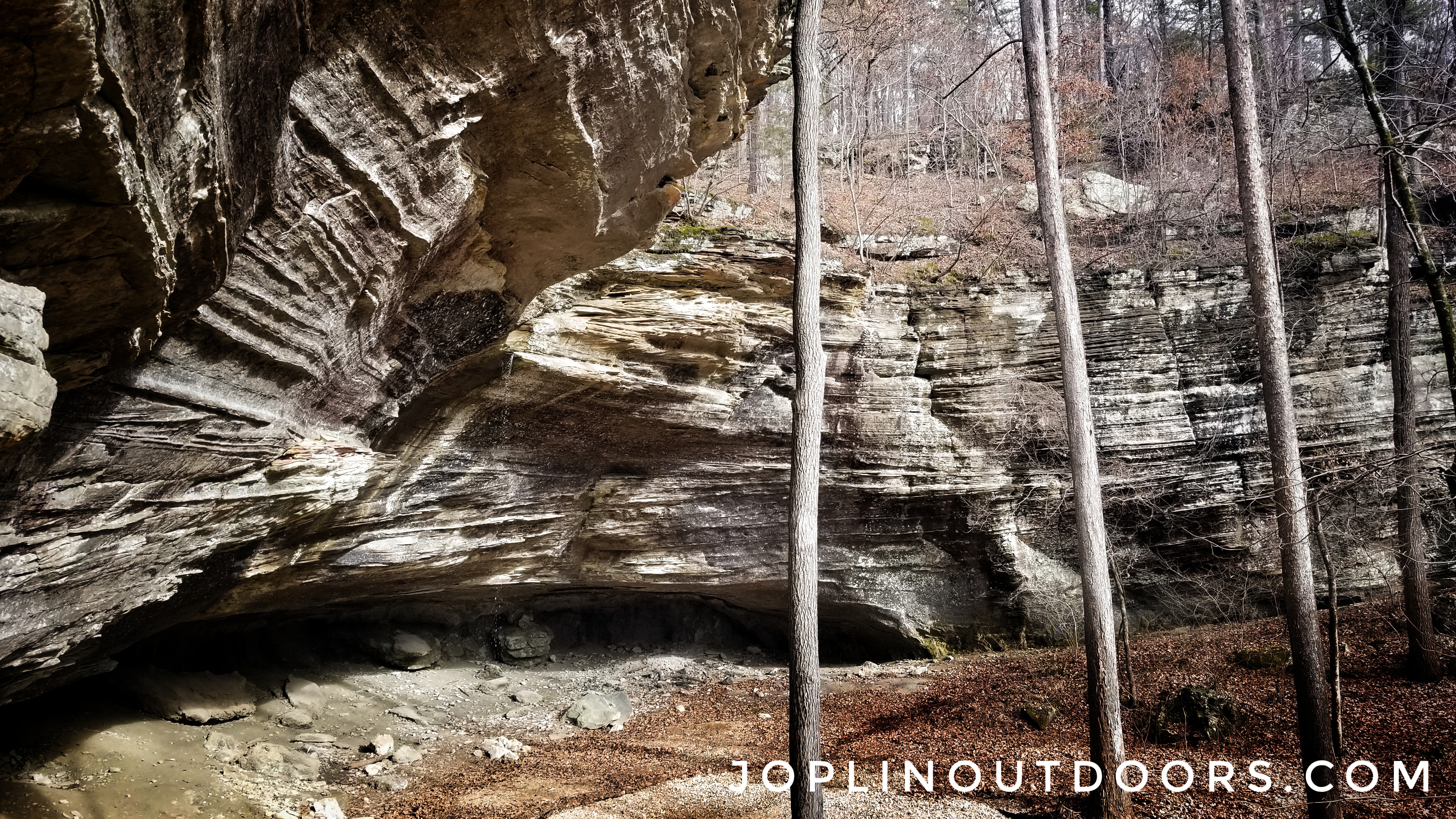
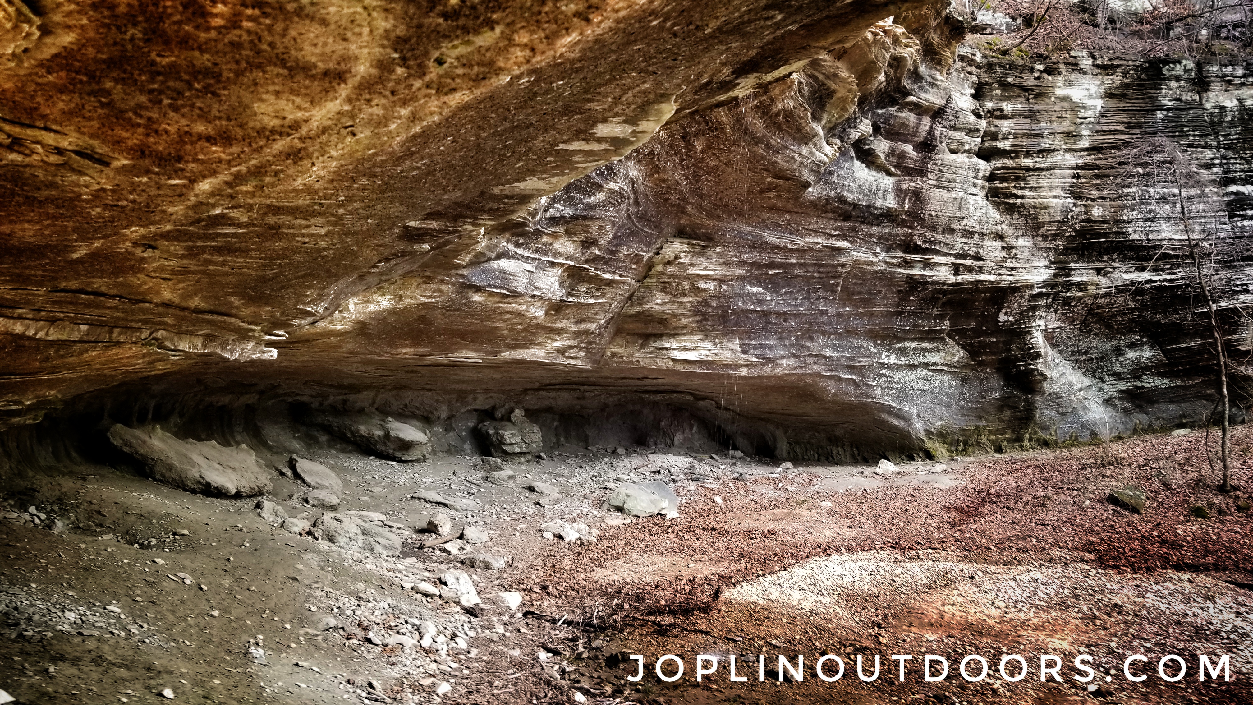
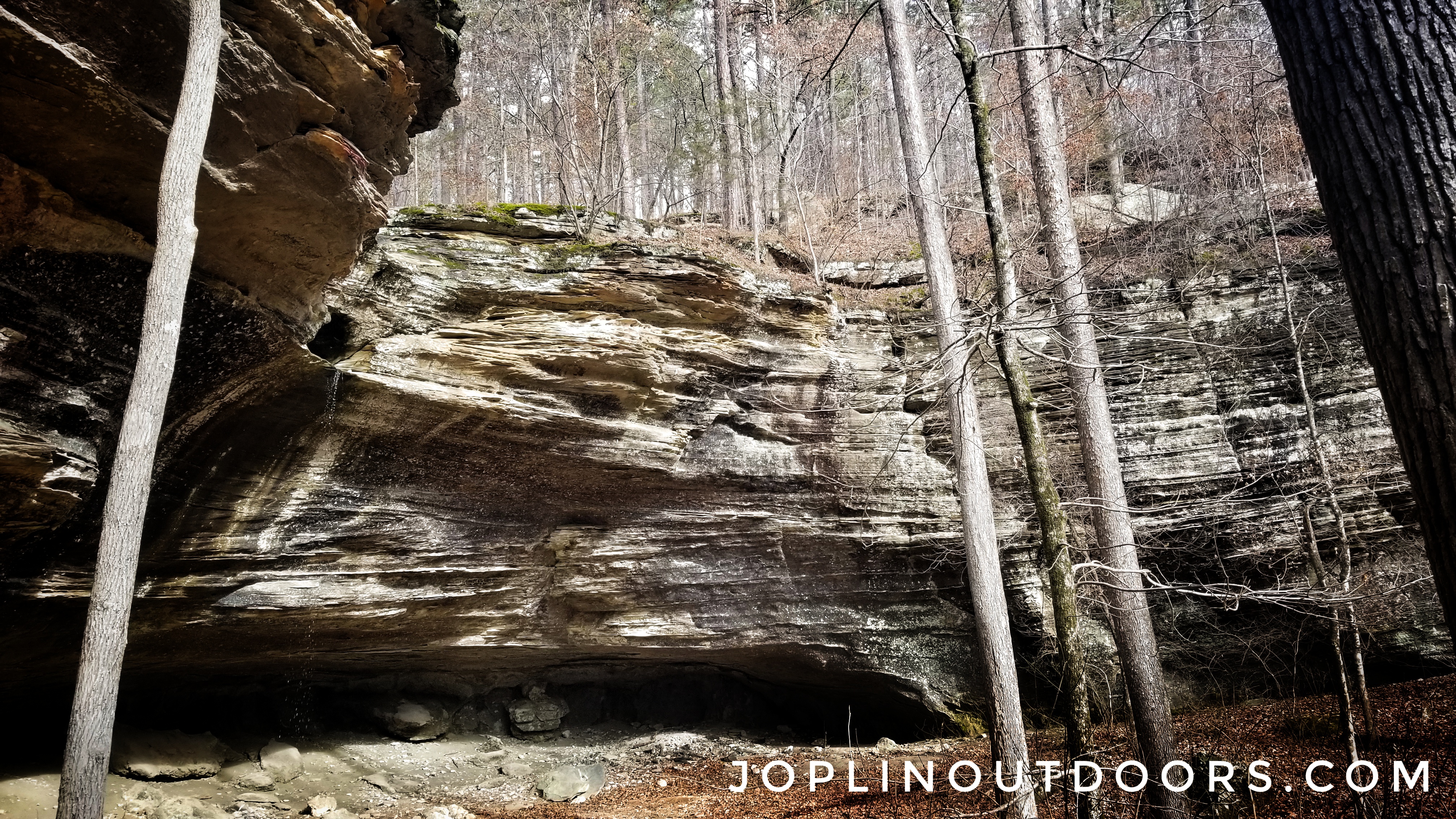
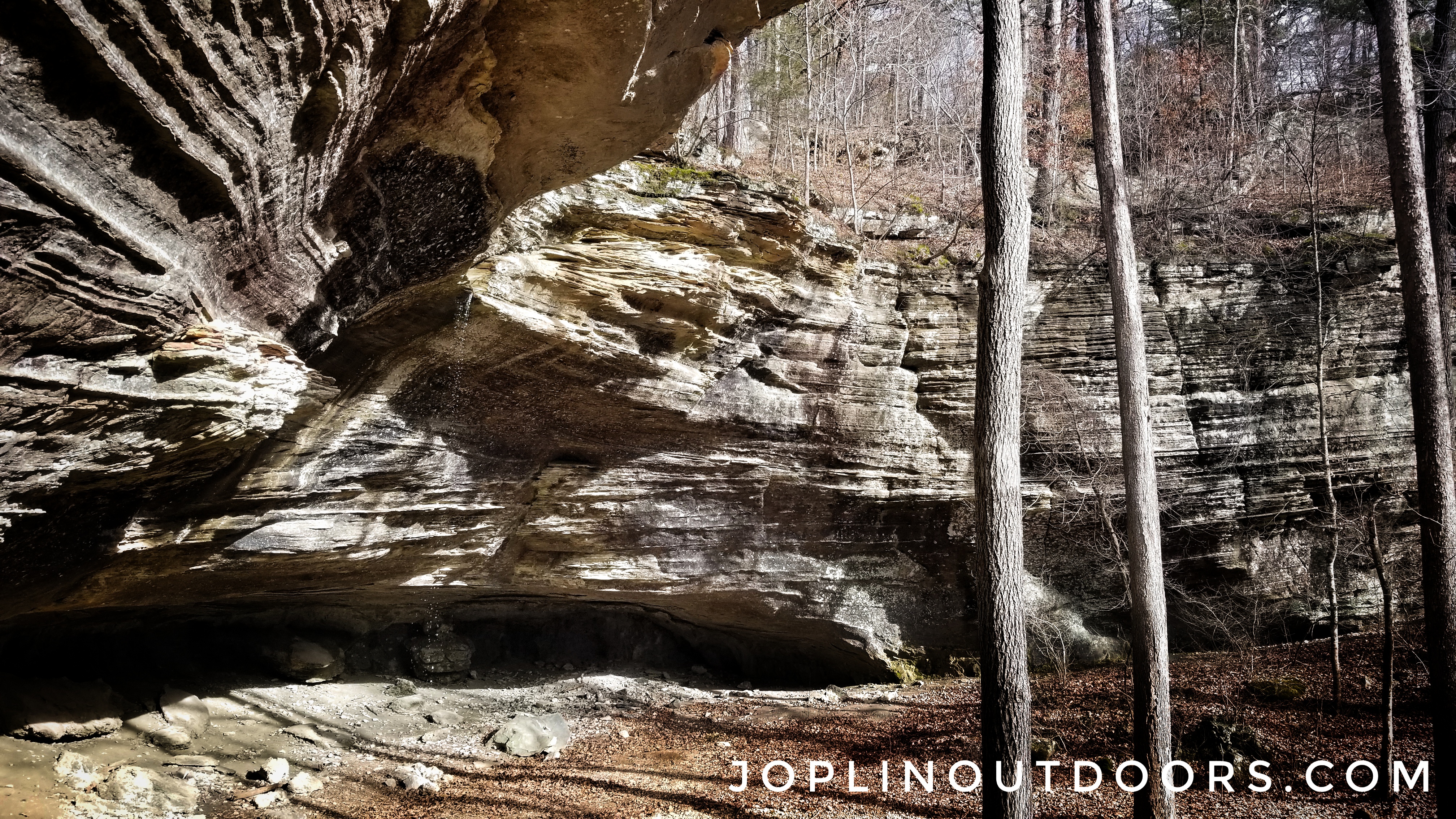
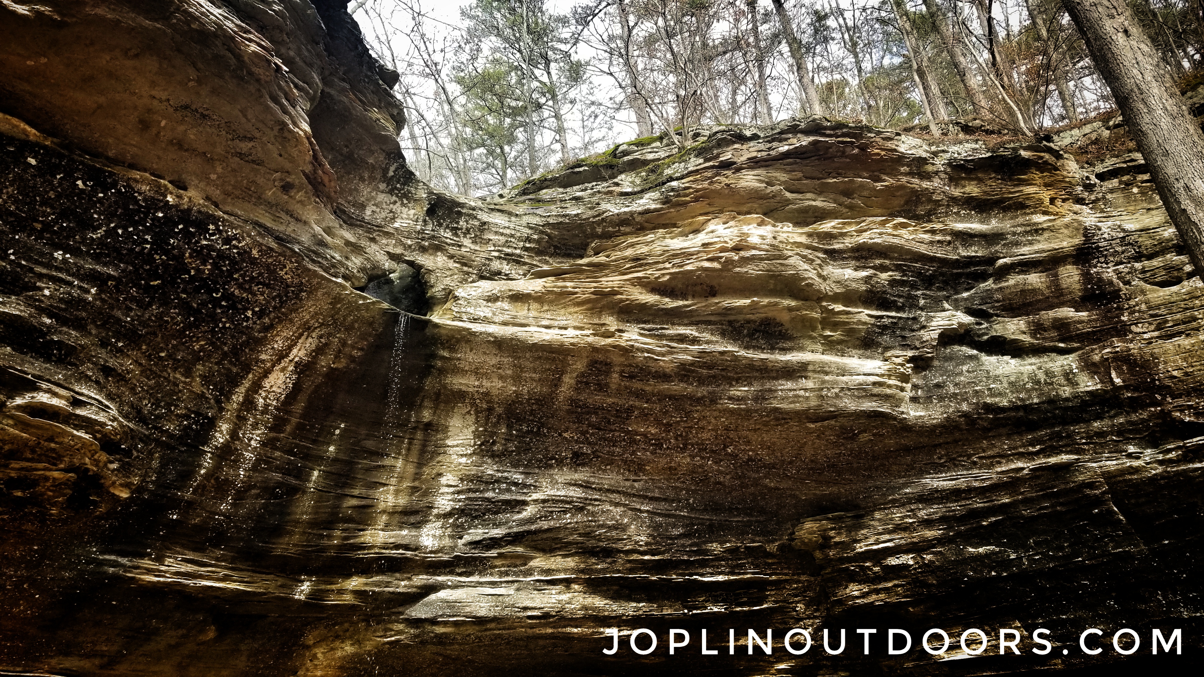
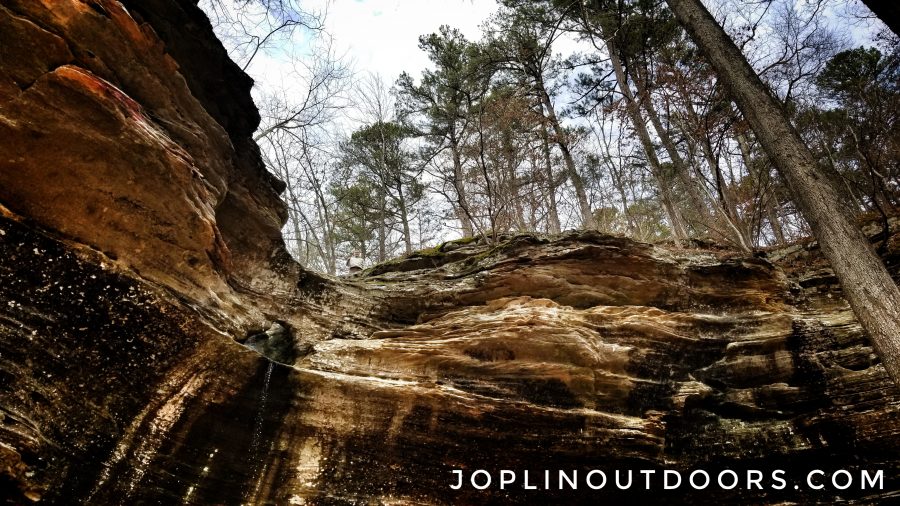
The bluff line here is beautiful and was worth the hike even if we didn’t have much of a flow for the falls. I quickly set up my hammock and just laid back and took it all in. After a few minutes of chilling and snacking, I decided to explore with Bruce. The bluff has lots to look at and explore. We found a few spots under the bluff where it appeared to have been hand dug with picks, most likely from the 1880s when prospectors were looking for led and zinc.
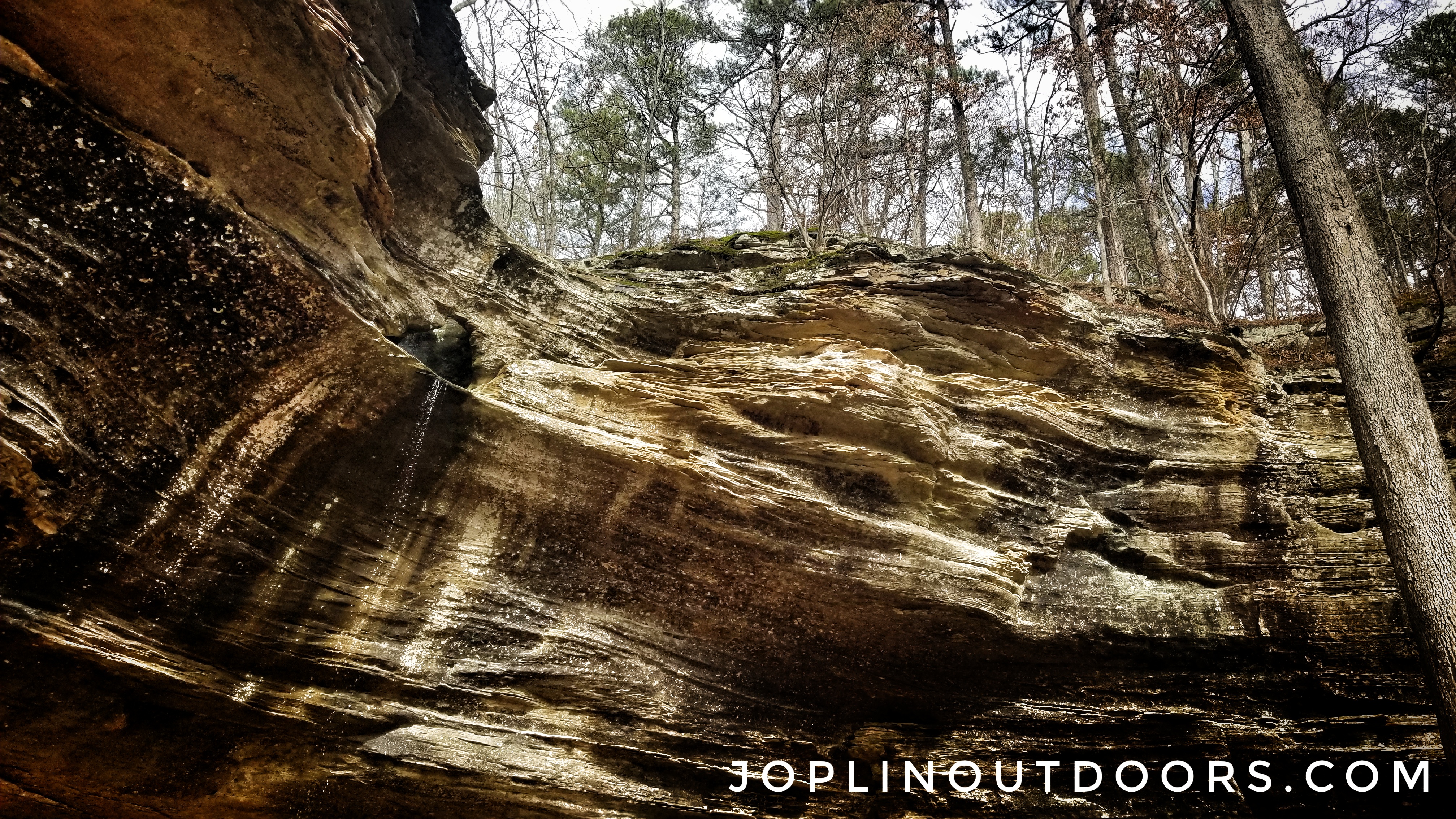
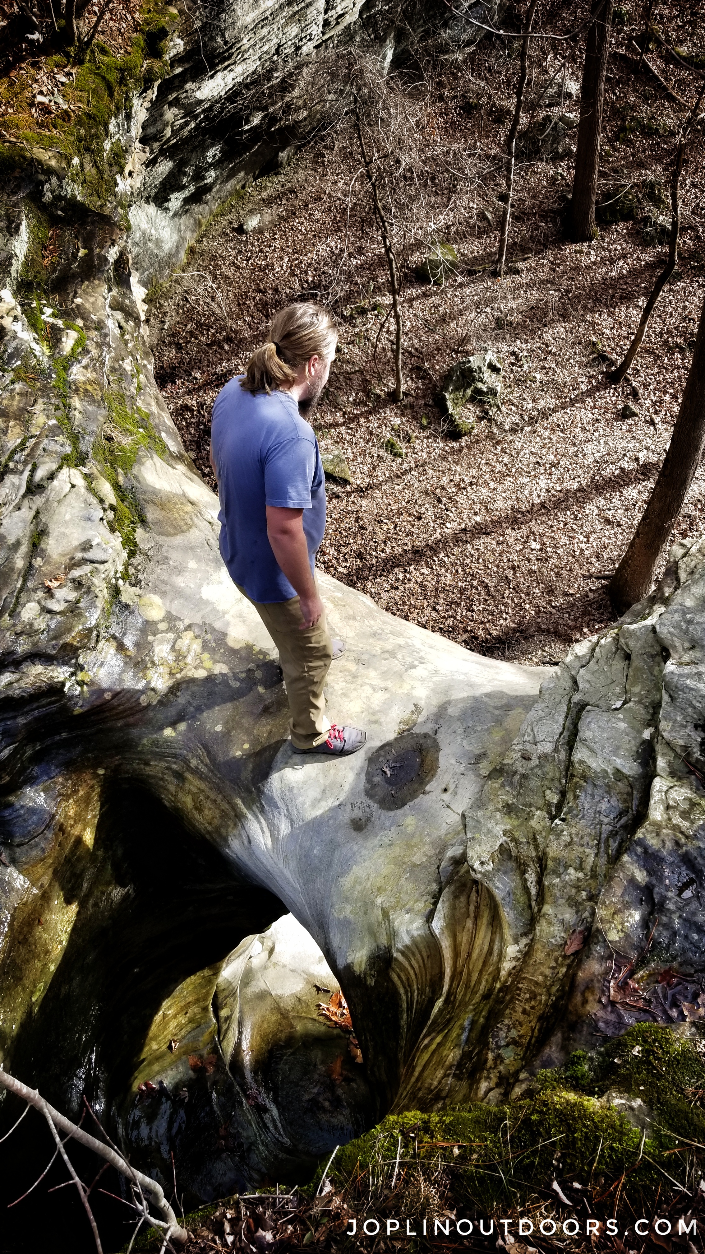
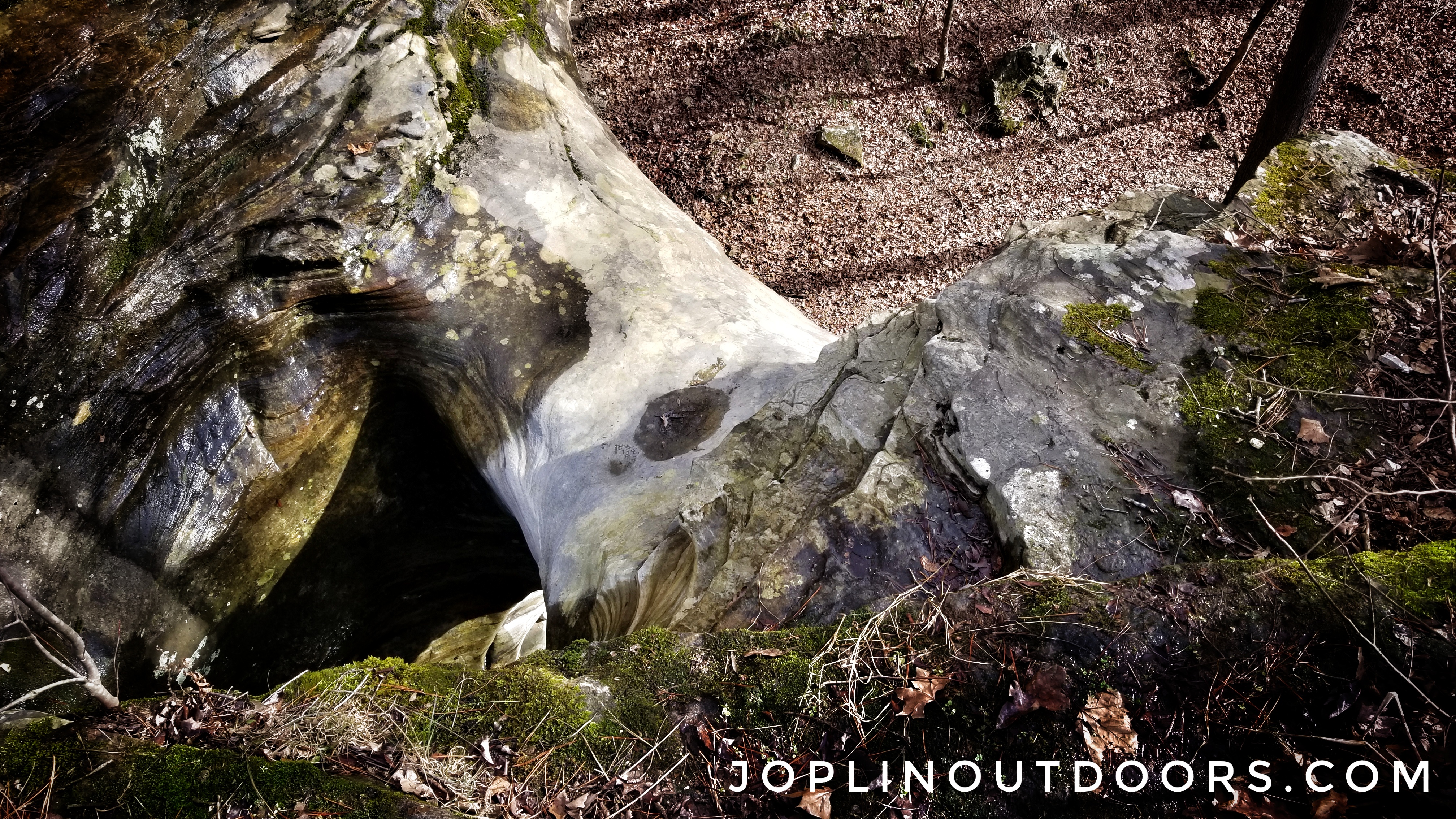
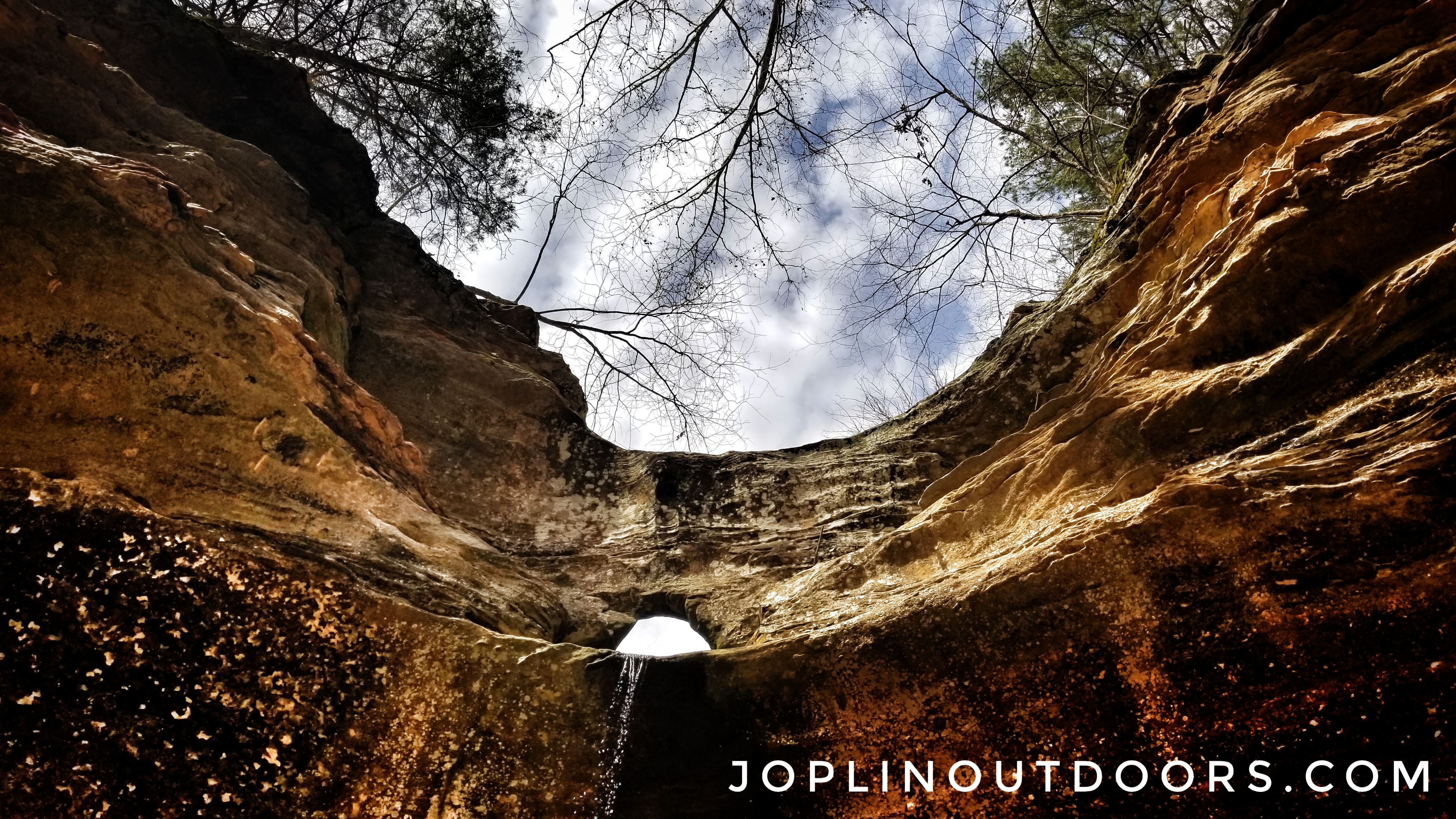
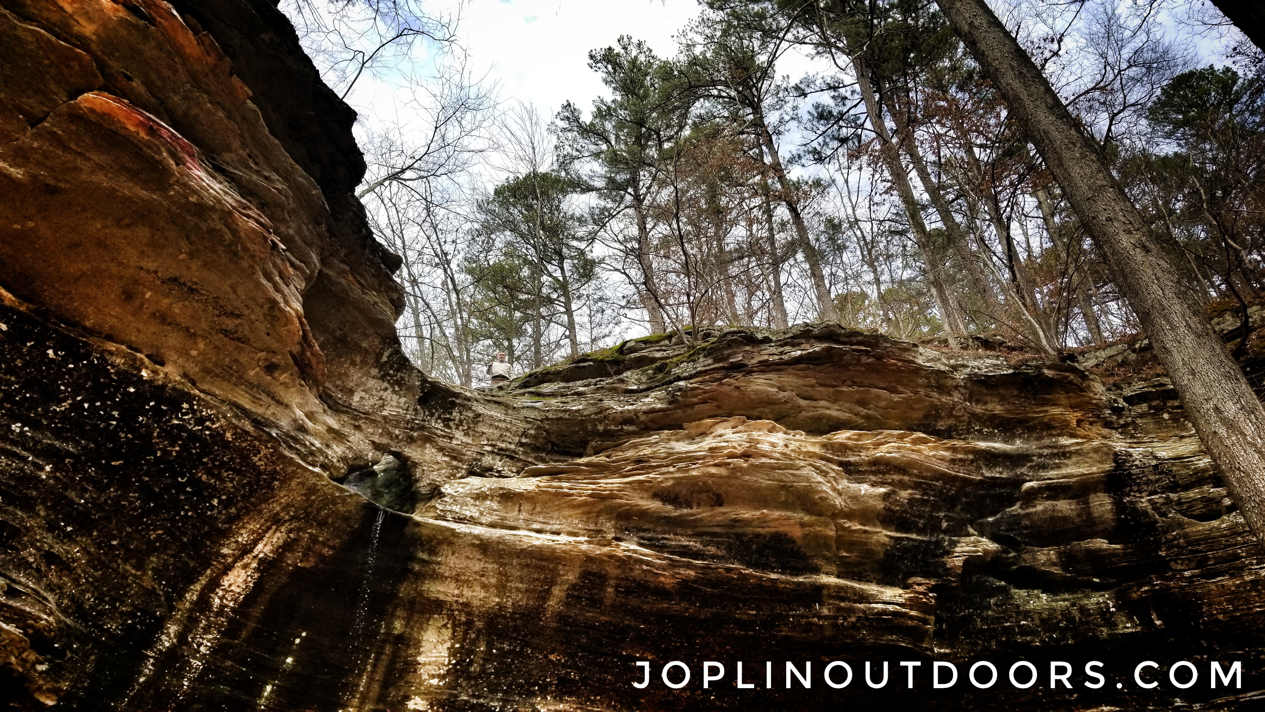
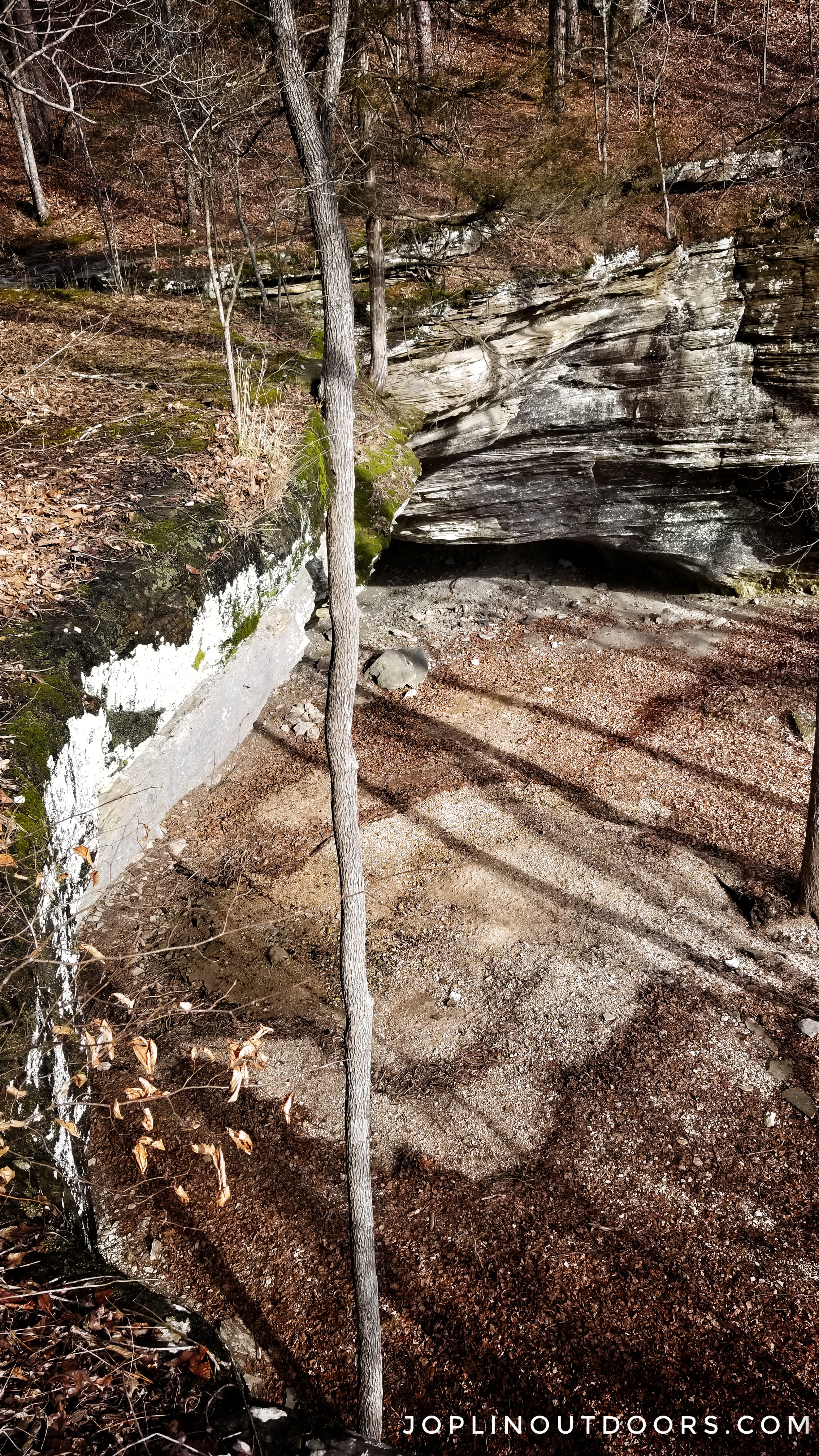
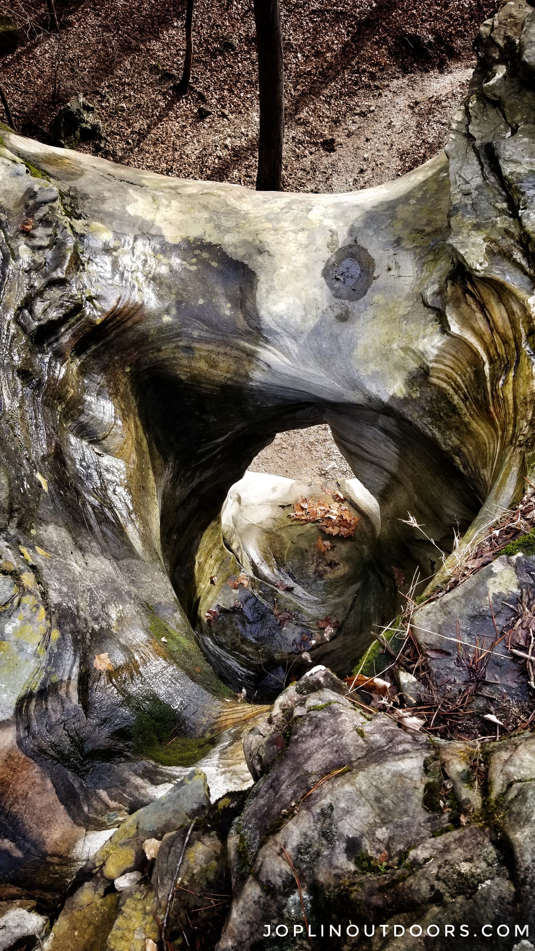
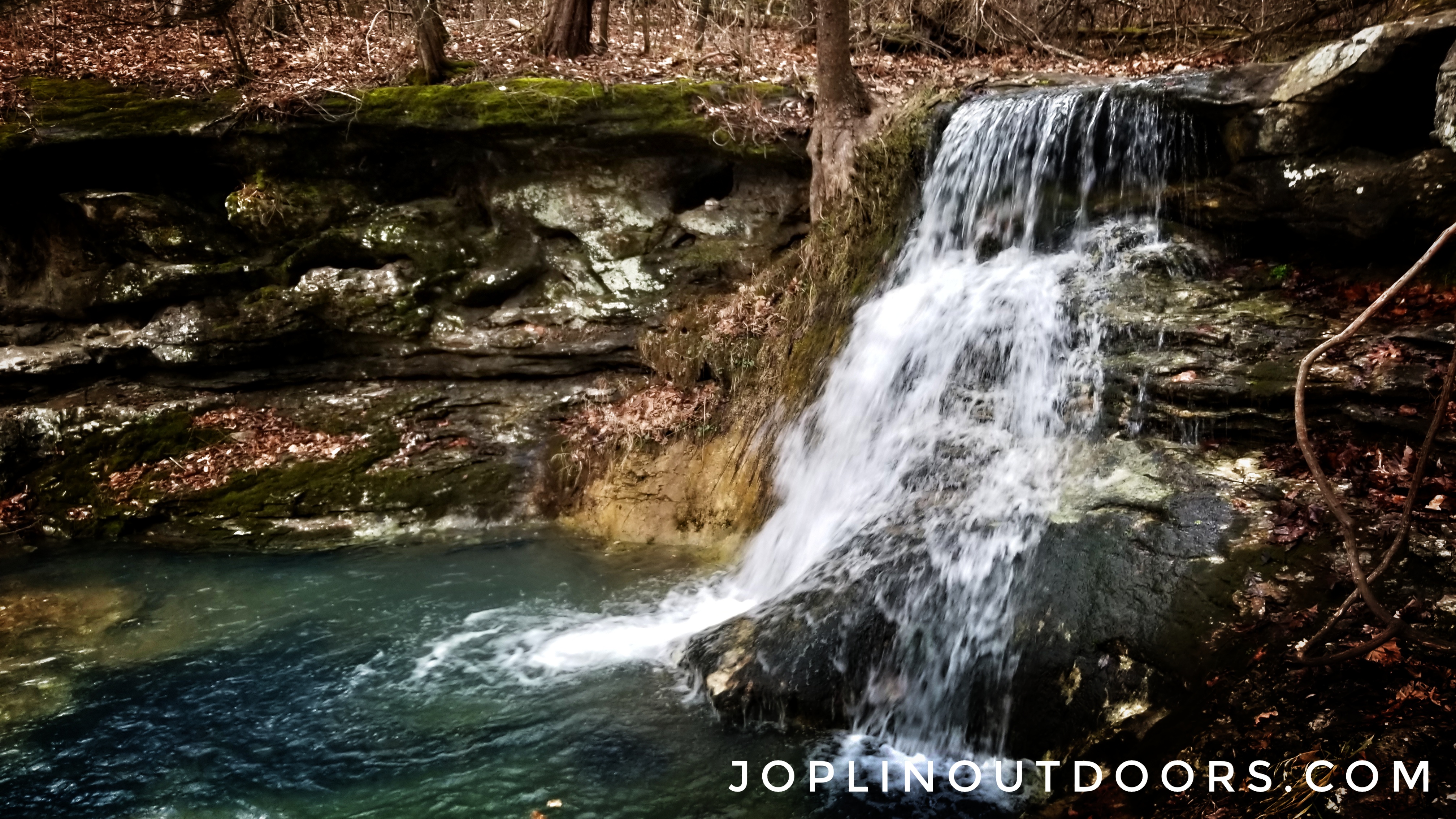
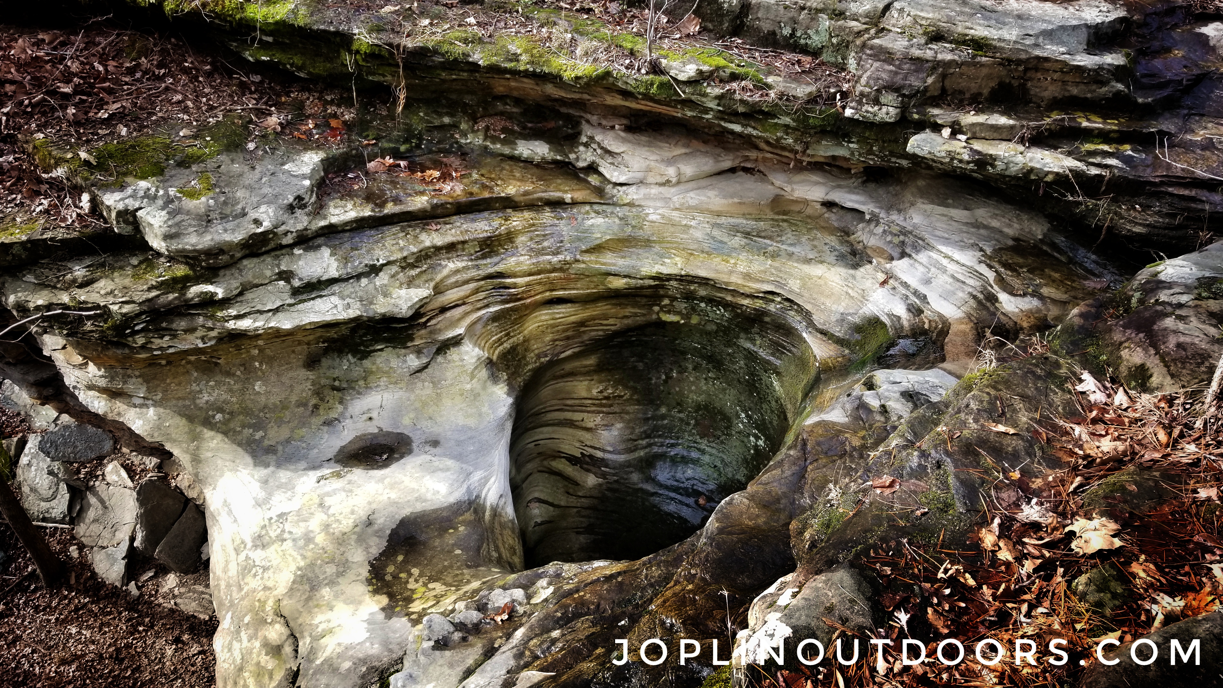
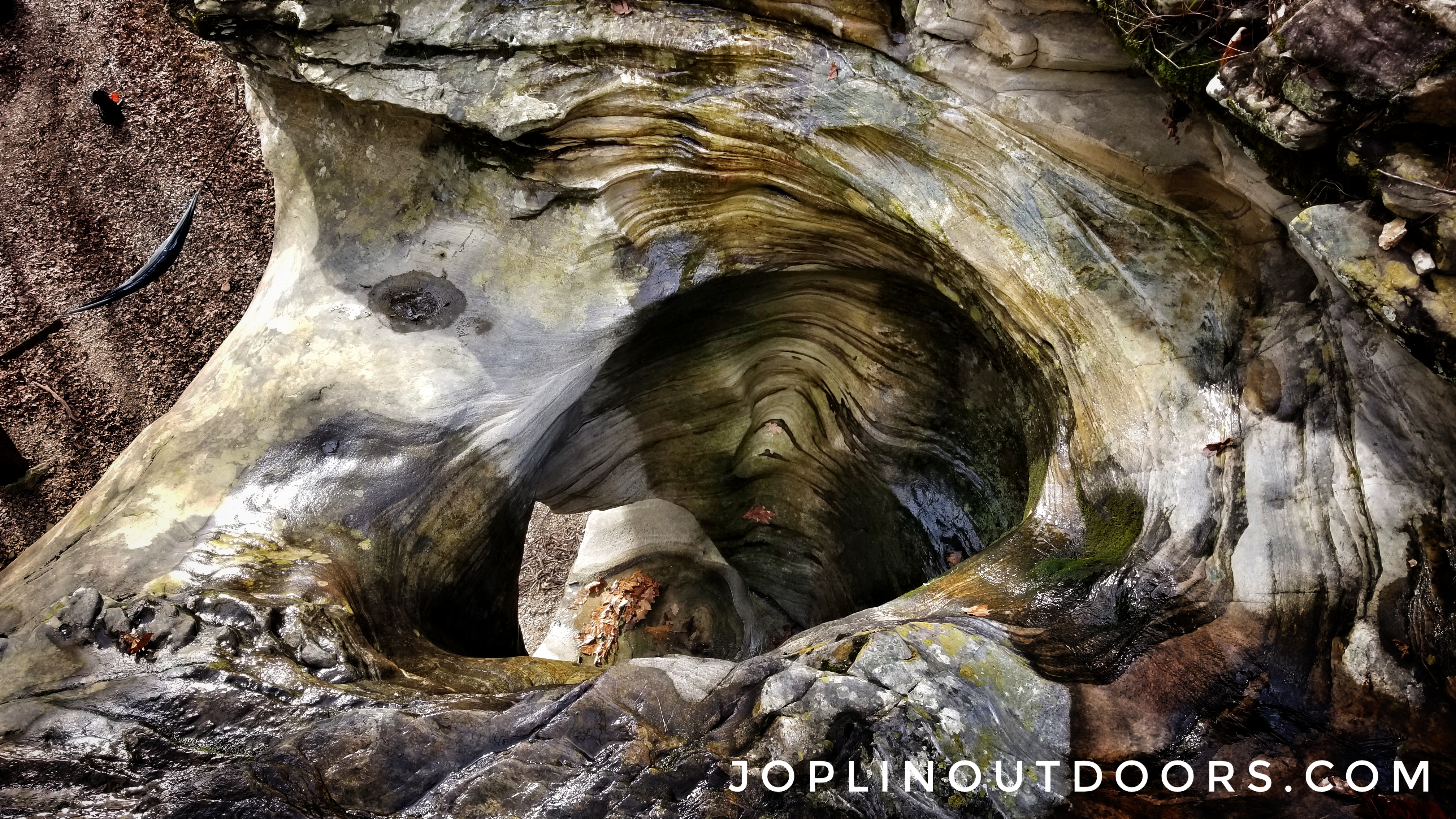
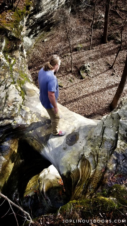
Once you have finished exploring, follow the bluff to your left. Here you will find a narrow and steep climb to the top. Be very careful as this area was slick and not much to hold on to as you climb. When you reach the top, head to the falls. You will find a very cool spot where you can see the water flowing into a hole and then back out the front. This is most likely where Tea Kettle Falls gets the name. It really does remind me of a kettle. Once again be careful as all the rocks are slick.

Climb back down the way you came to the base of the falls. Take in the view before heading back. To leave just follow the creek back to the main road and where you parked.
Remember to protect what you love. Pick up trash as you go and please DO NOT carve your name in trees. Writing on rocks even with other rocks is a bad idea. Always leave the place as if no one had been there. If you see anyone else doing something they shouldn’t, offer a friendly reminder about leaving no trace. If this doesn’t work, reporting the individual is your next option.