


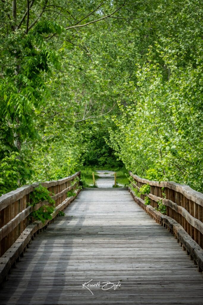
- Location: Carl Junction.
- Distance: 1.4 miles one way, 2.8 round trip.
- Parking: Allen Street lot.
- Difficulty: Easy.
- Surface: Asphalt, concrete, and gravel mix.
- Hazards: none documented; route crosses a 400 foot converted rail bridge high over Center Creek.
- Map pin
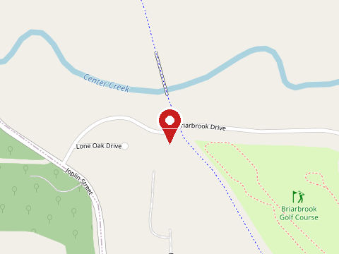
Map thumbnails (c) OpenStreetMap contributors.