


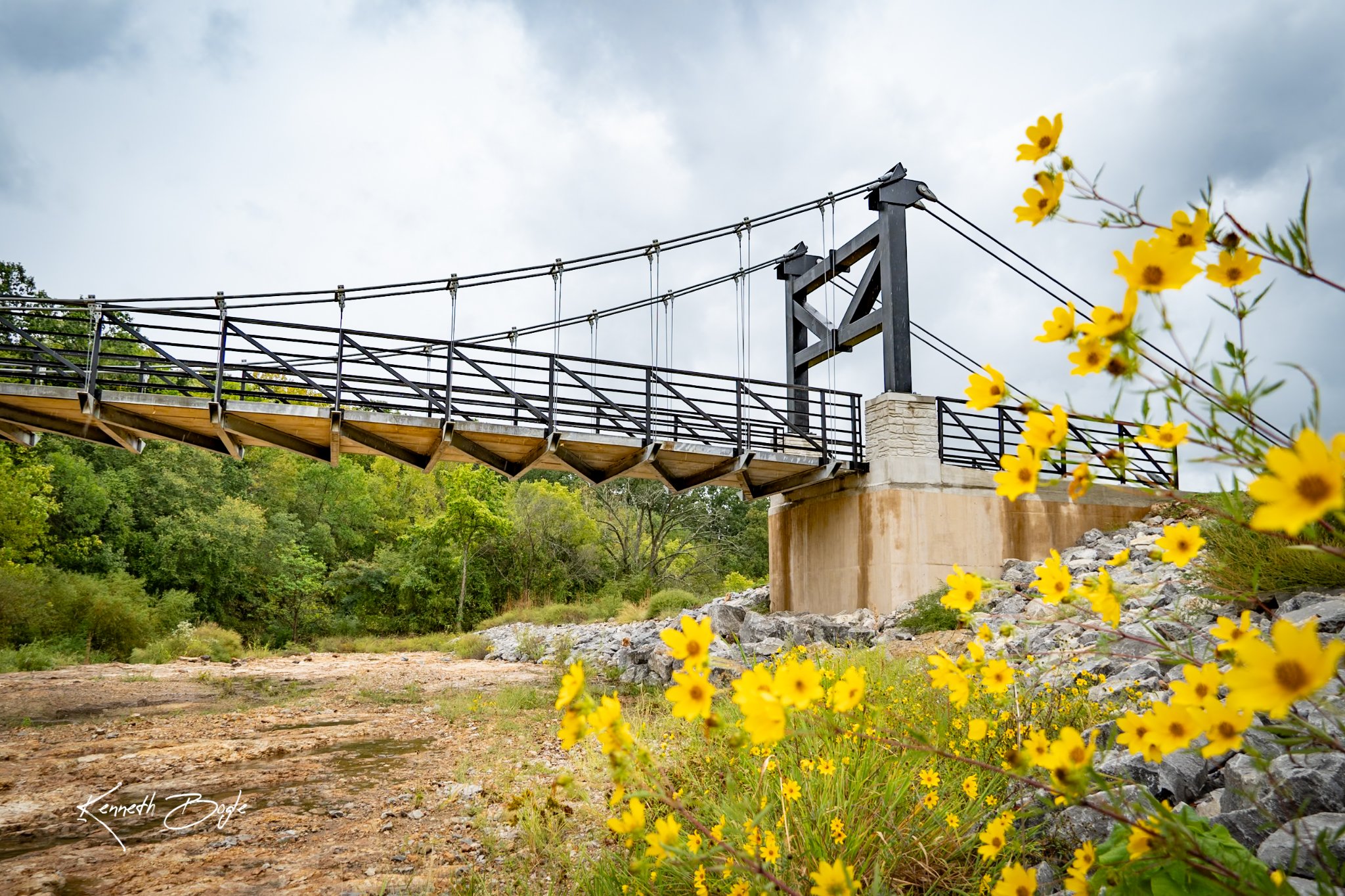
- Location: Joplin area.
- Distance: about 1.3 miles one way.
- Difficulty: Easy.
- Surface: Paved.
- Description: runs from one parking area to the other and connects to the Wildcat Glades trail system, featuring the Tin Cup Suspension Bridge over Tin Cup Creek.
- Parking: South end parking, Northside parking
- Map pin
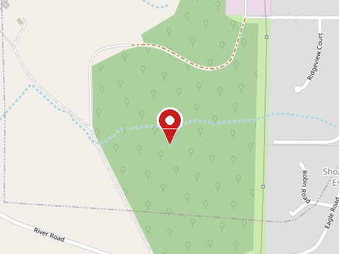
Map thumbnails (c) OpenStreetMap contributors.