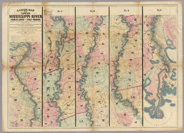
I love graphic design so I have started a series of maps for our local creeks near Joplin, MO. You’ll be able to print each map out allowing you to draw and mark on them. This comes in handy when planning trips and figuring the distance between two locations. Laminate them to make them waterproof and take them with you.
Center Creek Map:
The first in my series is the Center Creek Map. It has a total of 50 miles of water that are accessible most of the year. Center Creek is great for fishing. I have even done multi day trips on center creek.
[pdf_attachment file=”1″ name=”Center Creek Map”]
Let me know what you think of these maps.

